Leave a Message

Thank you for your message. We will be in touch with you shortly.

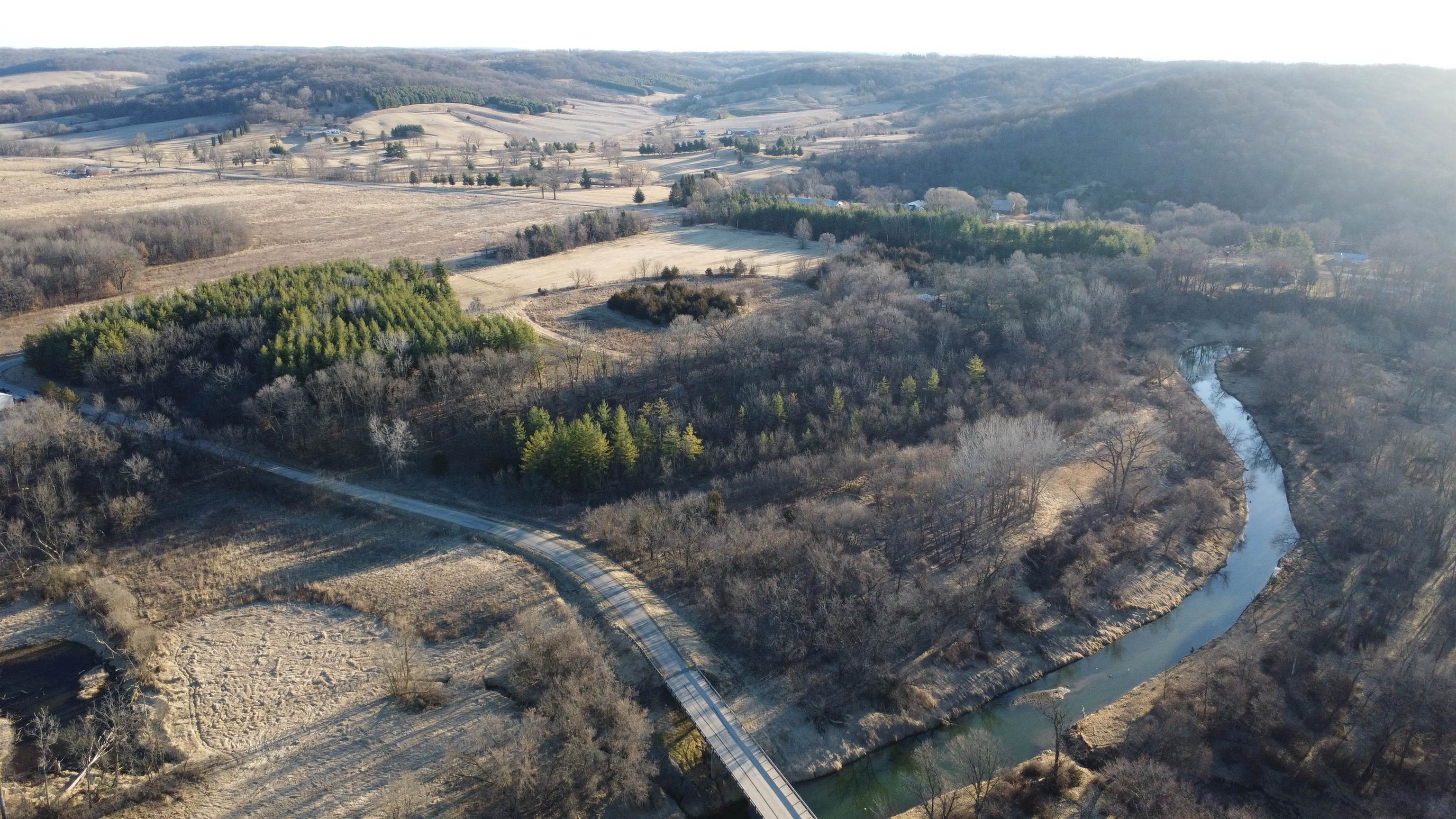
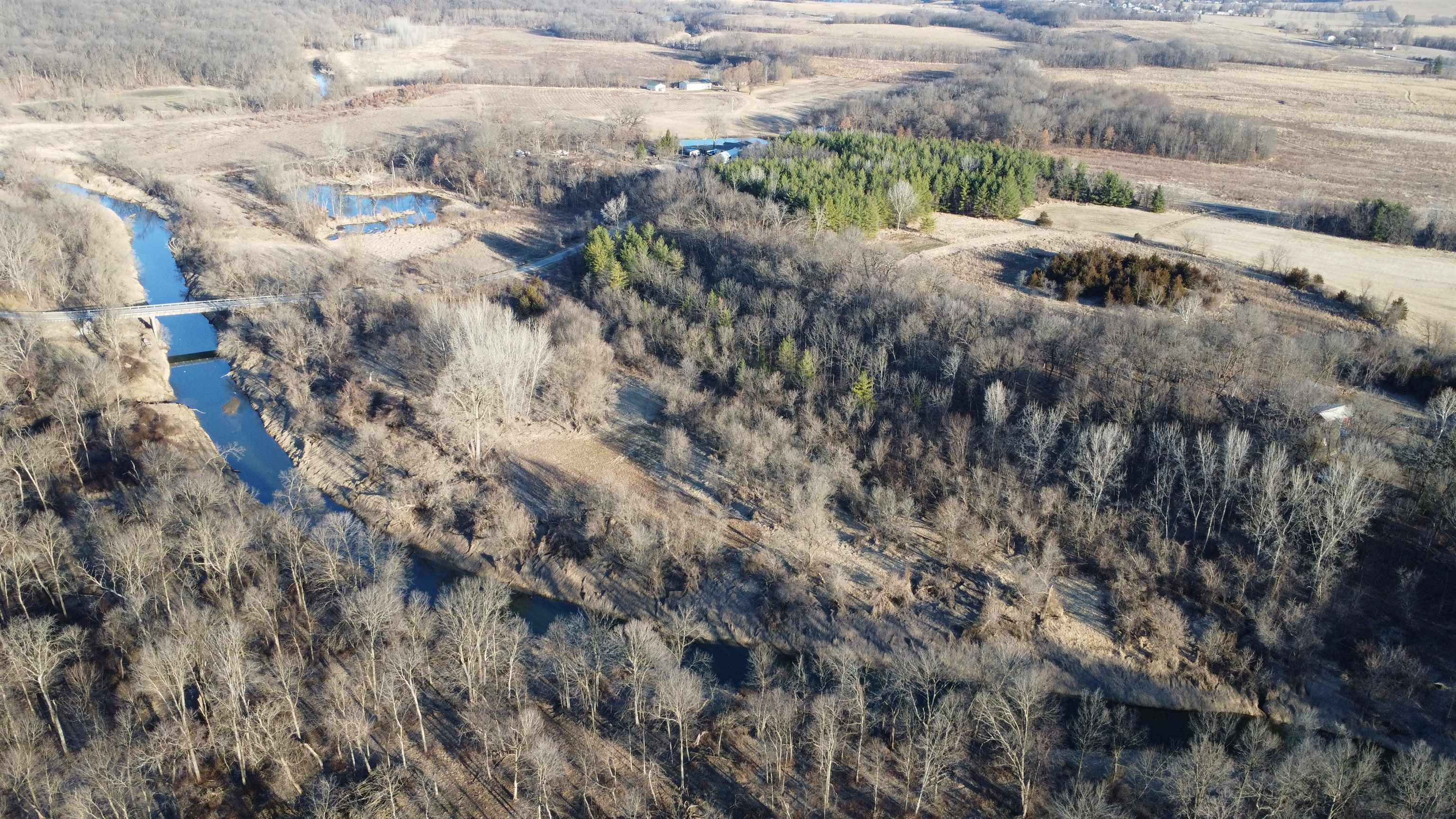
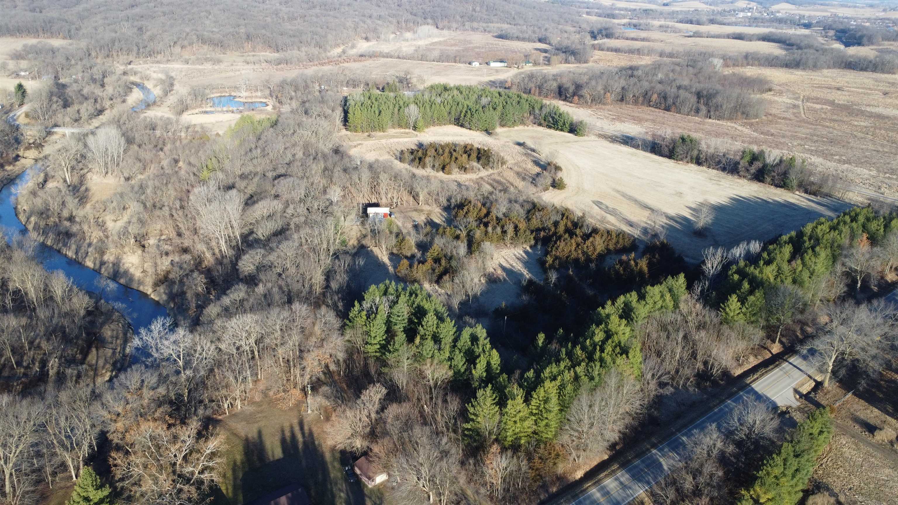
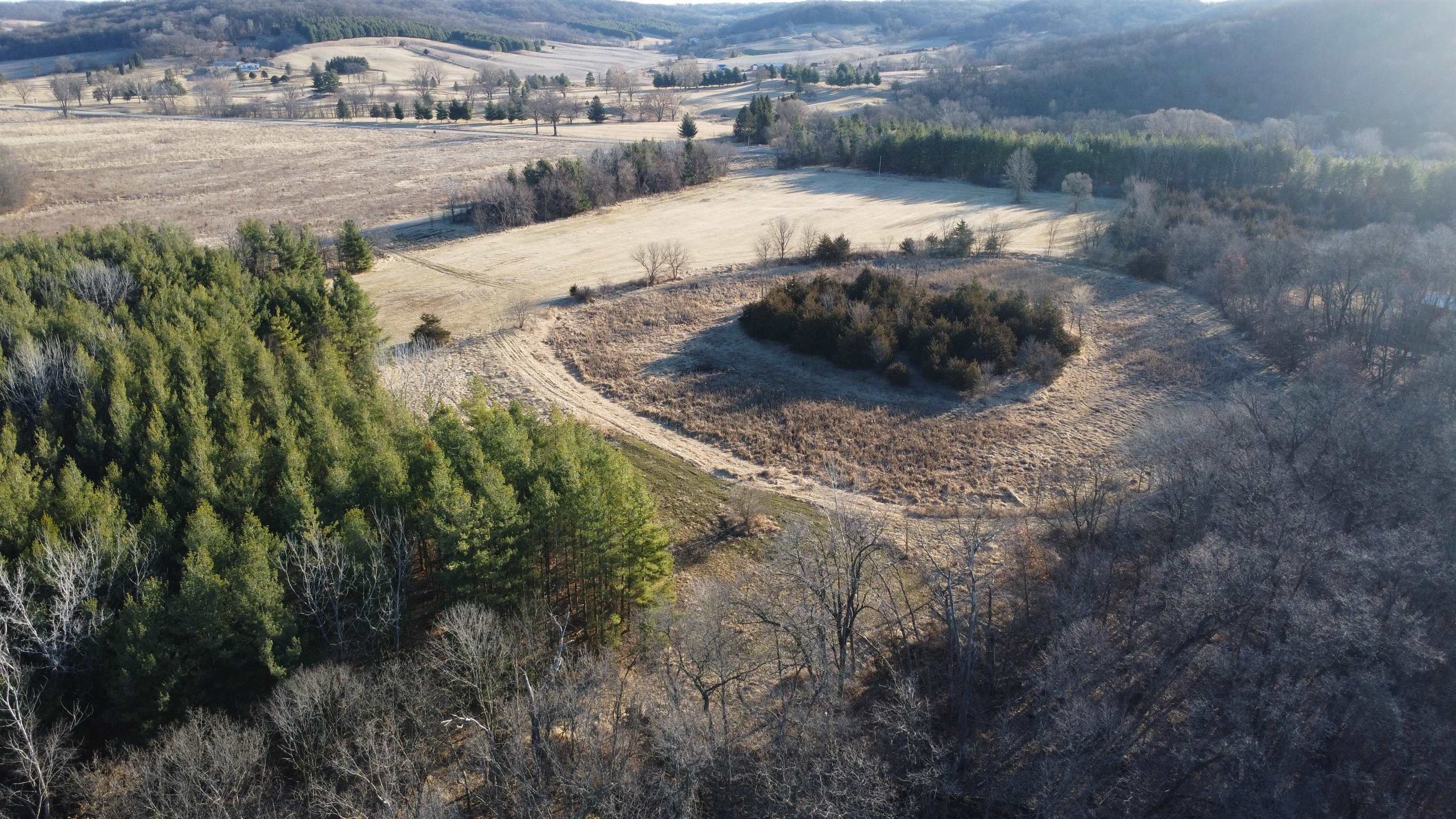
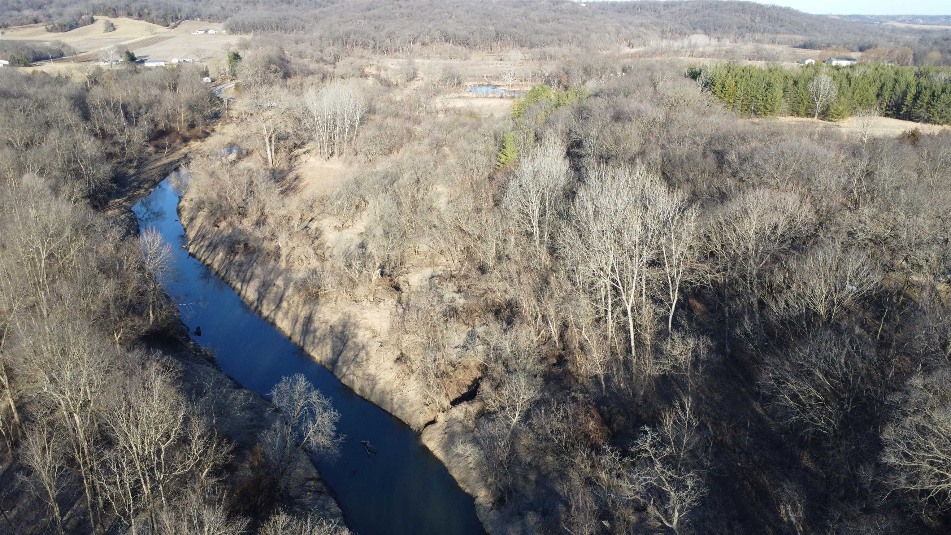
Aerial view of wooded acreage and open fields along a winding creek and bridge.
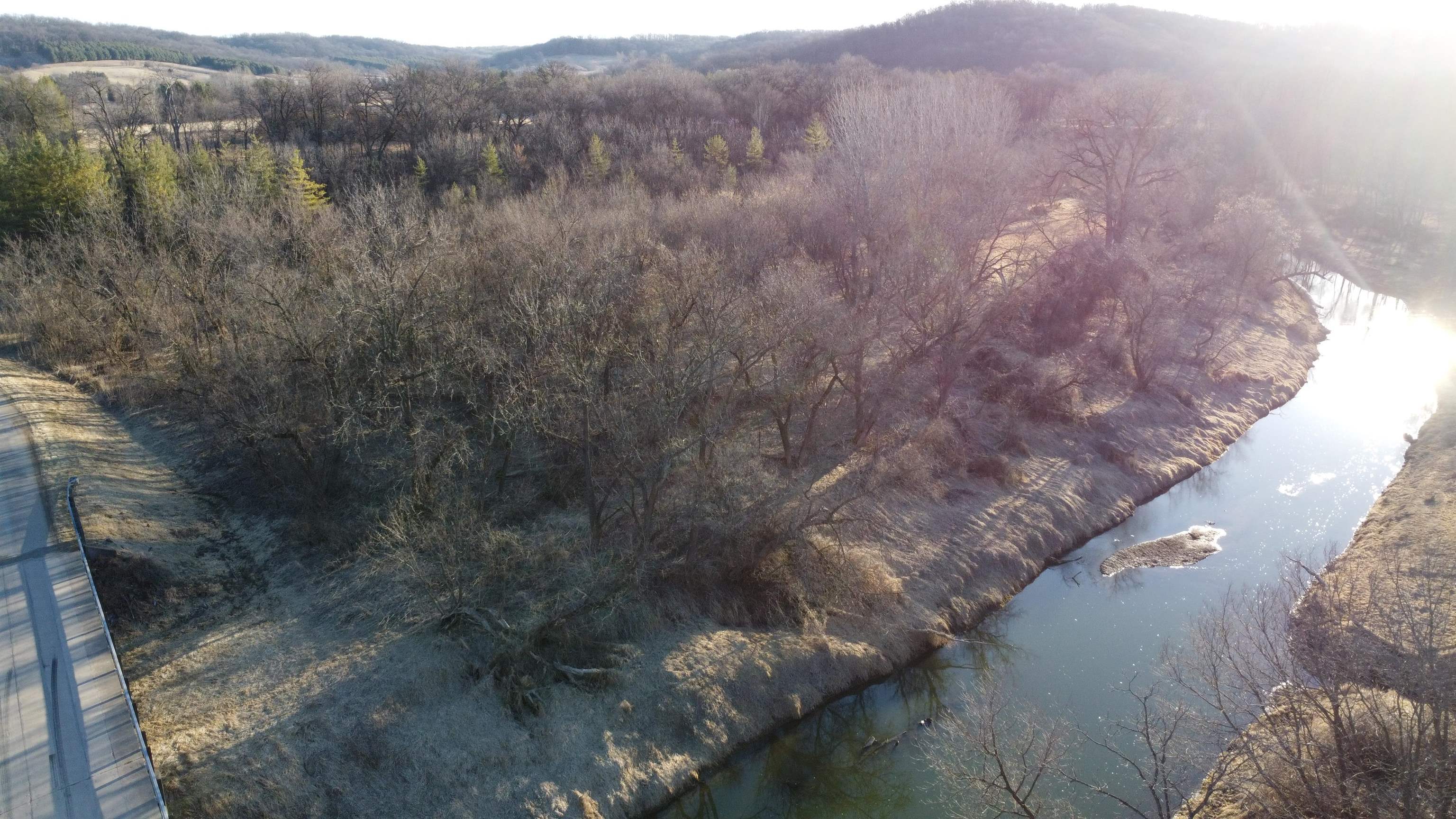
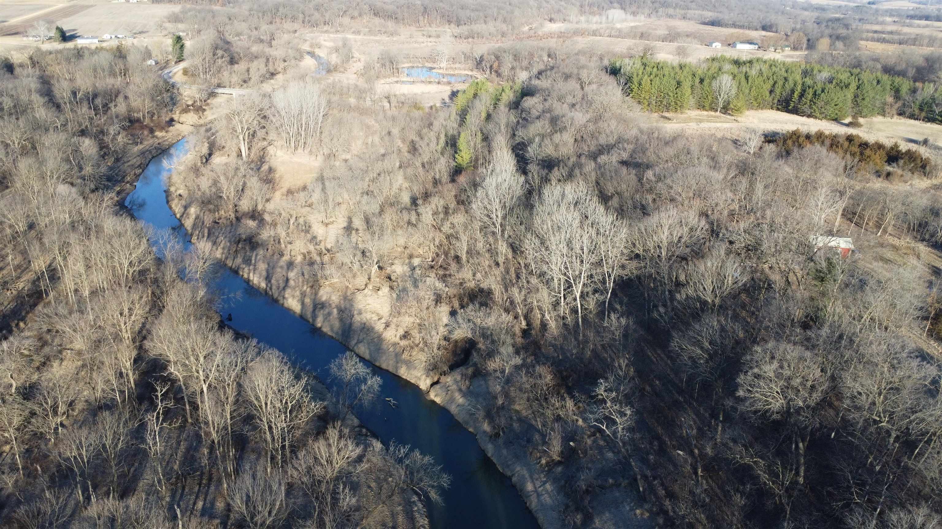
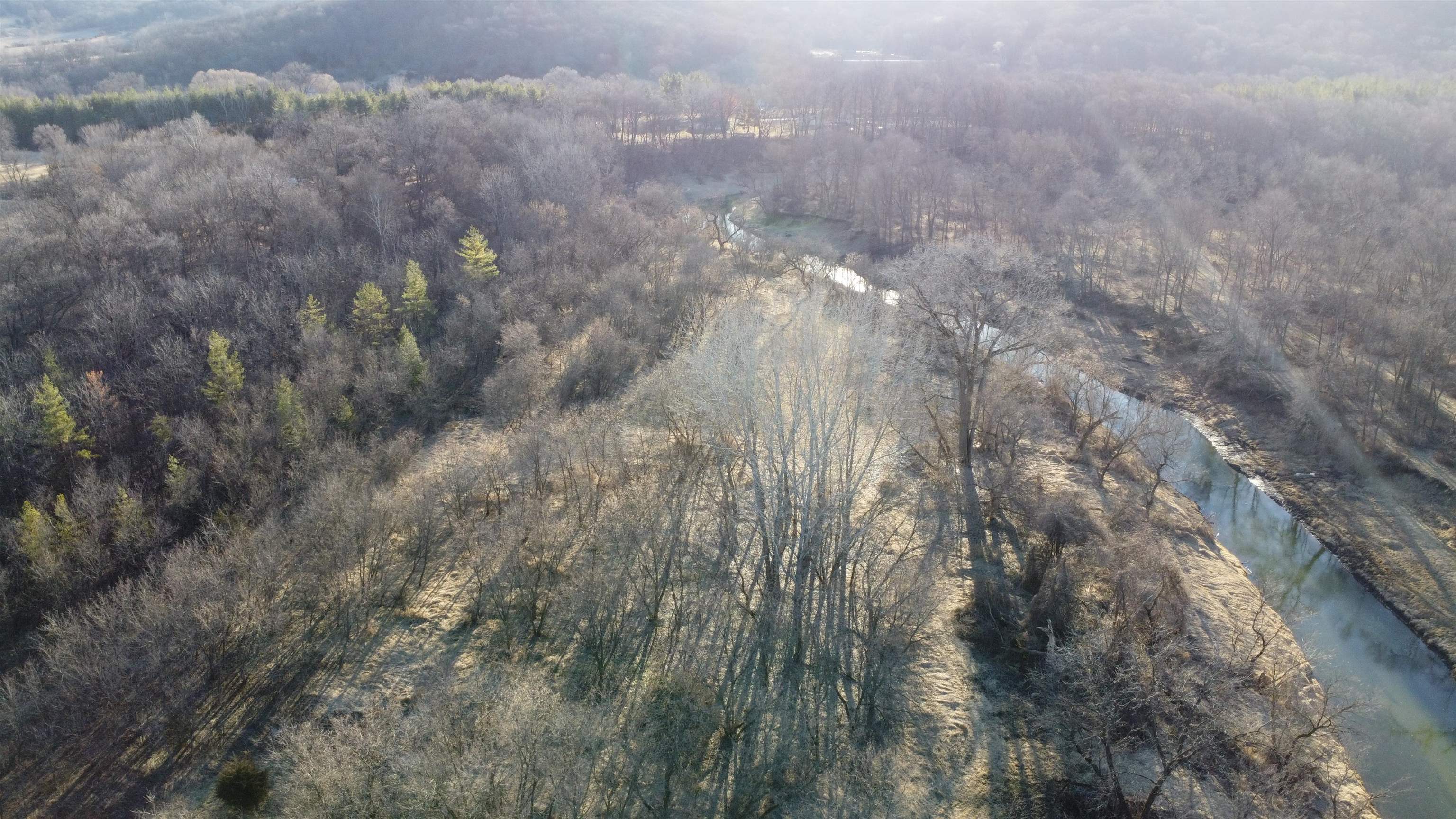
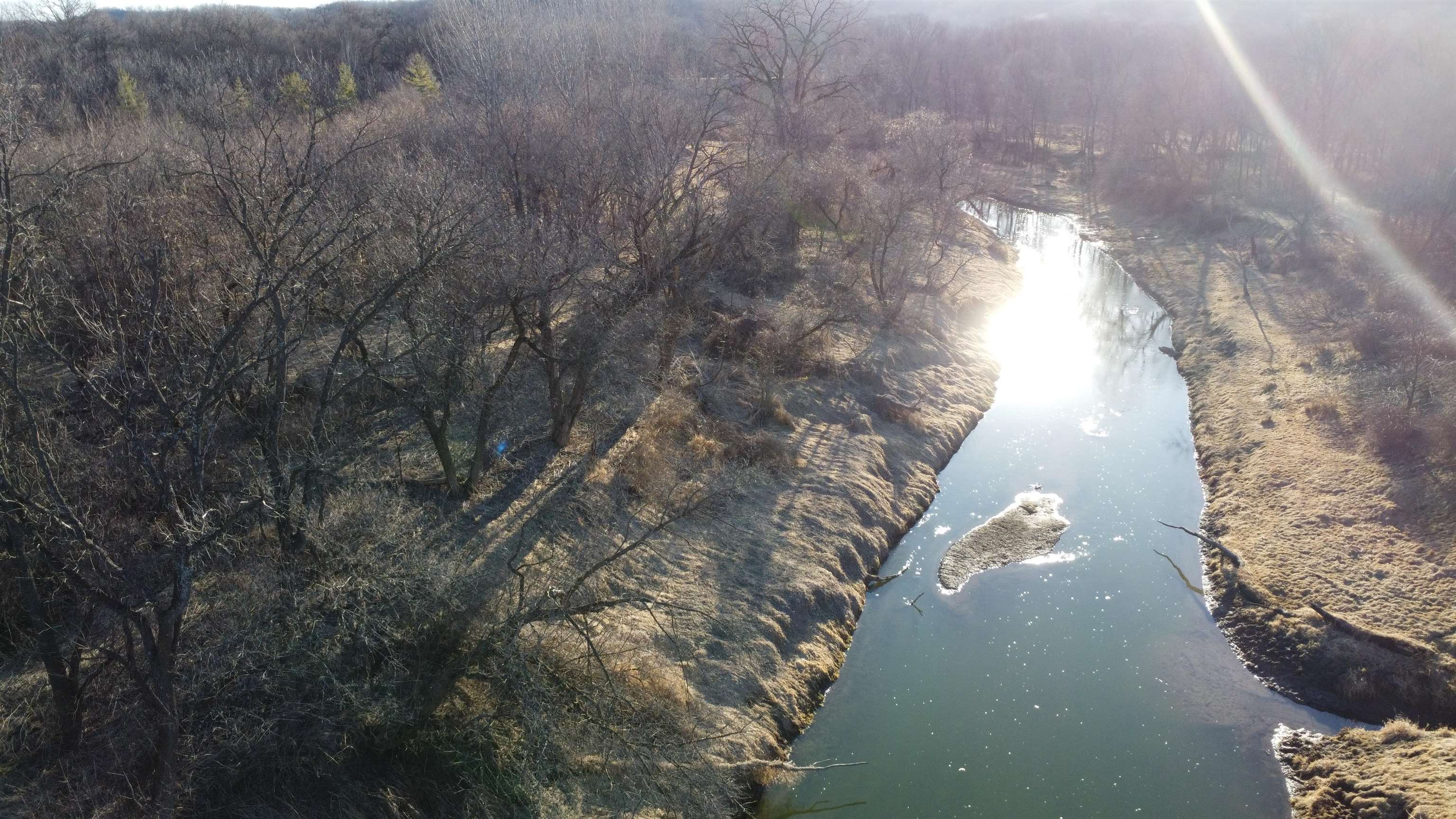
Aerial view of wooded land beside a winding river, with a road along the edge.
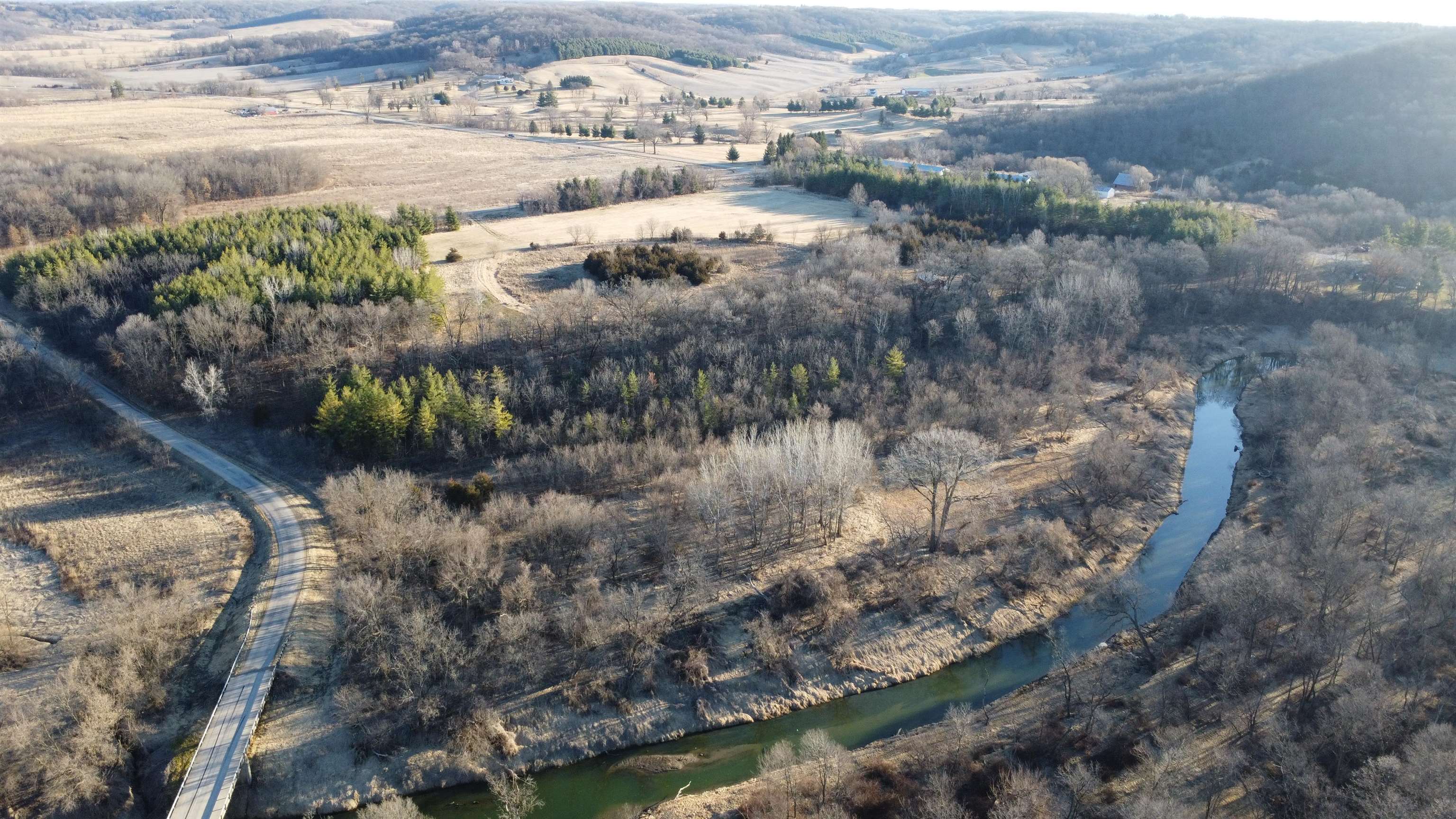
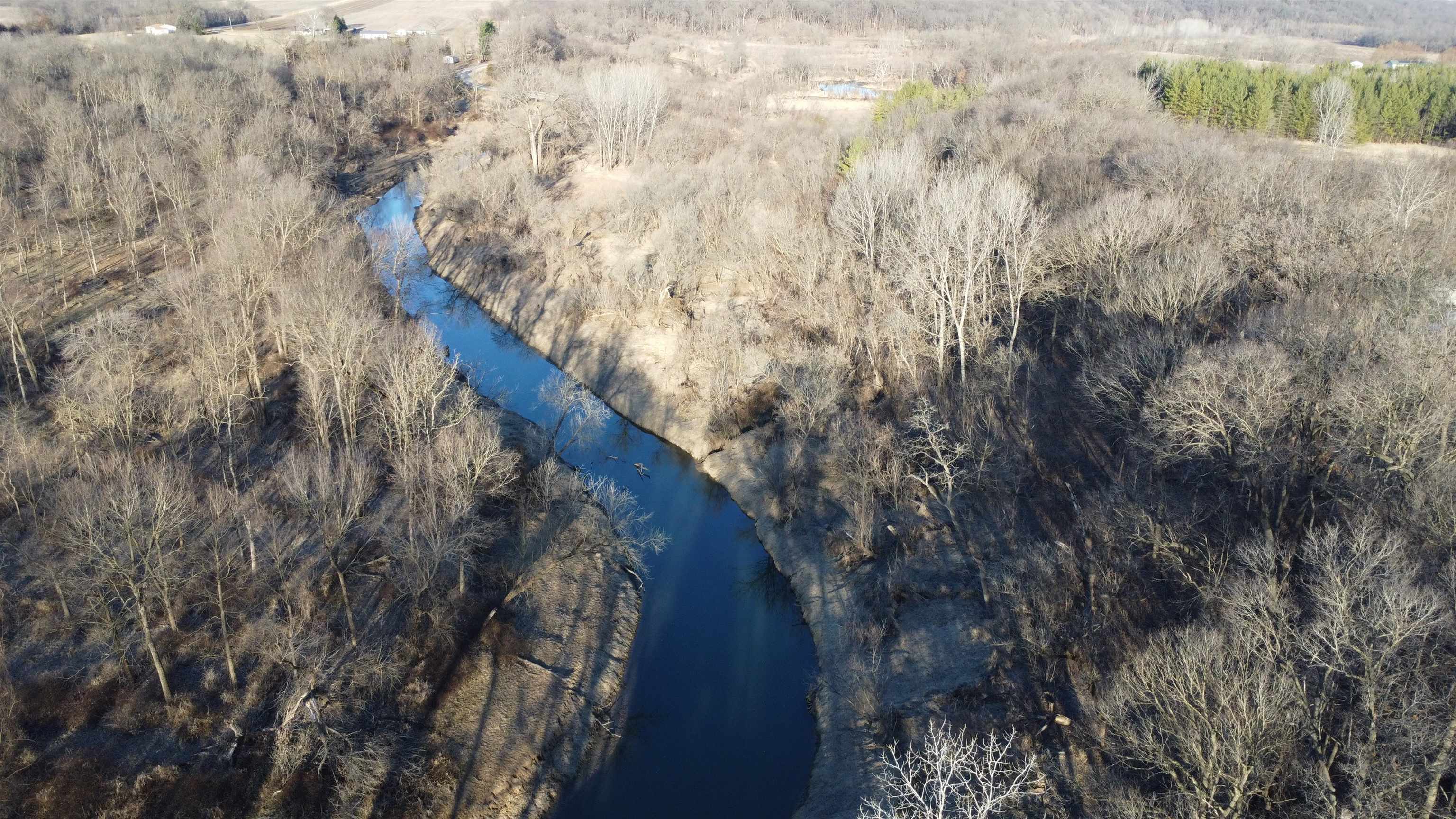
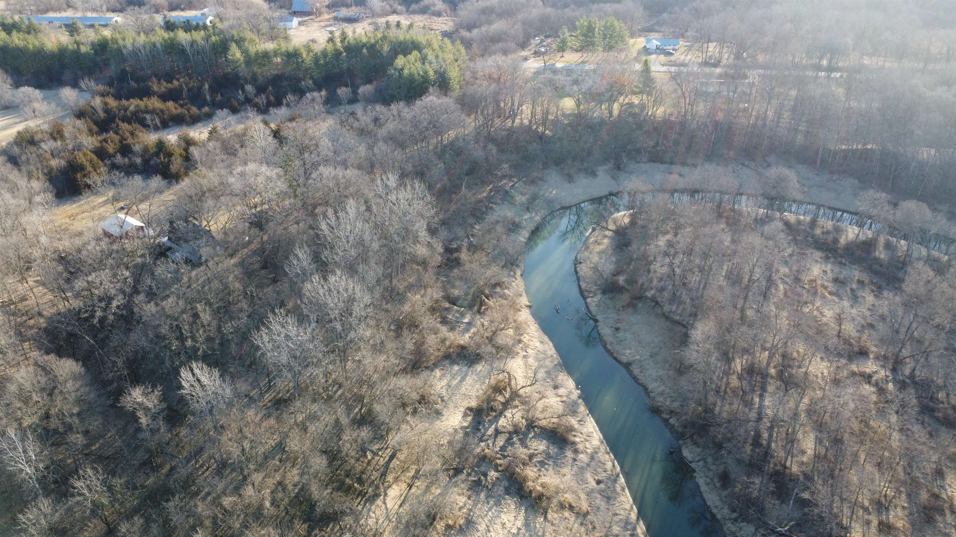
Aerial view of wooded acreage with a winding creek and road bridge.
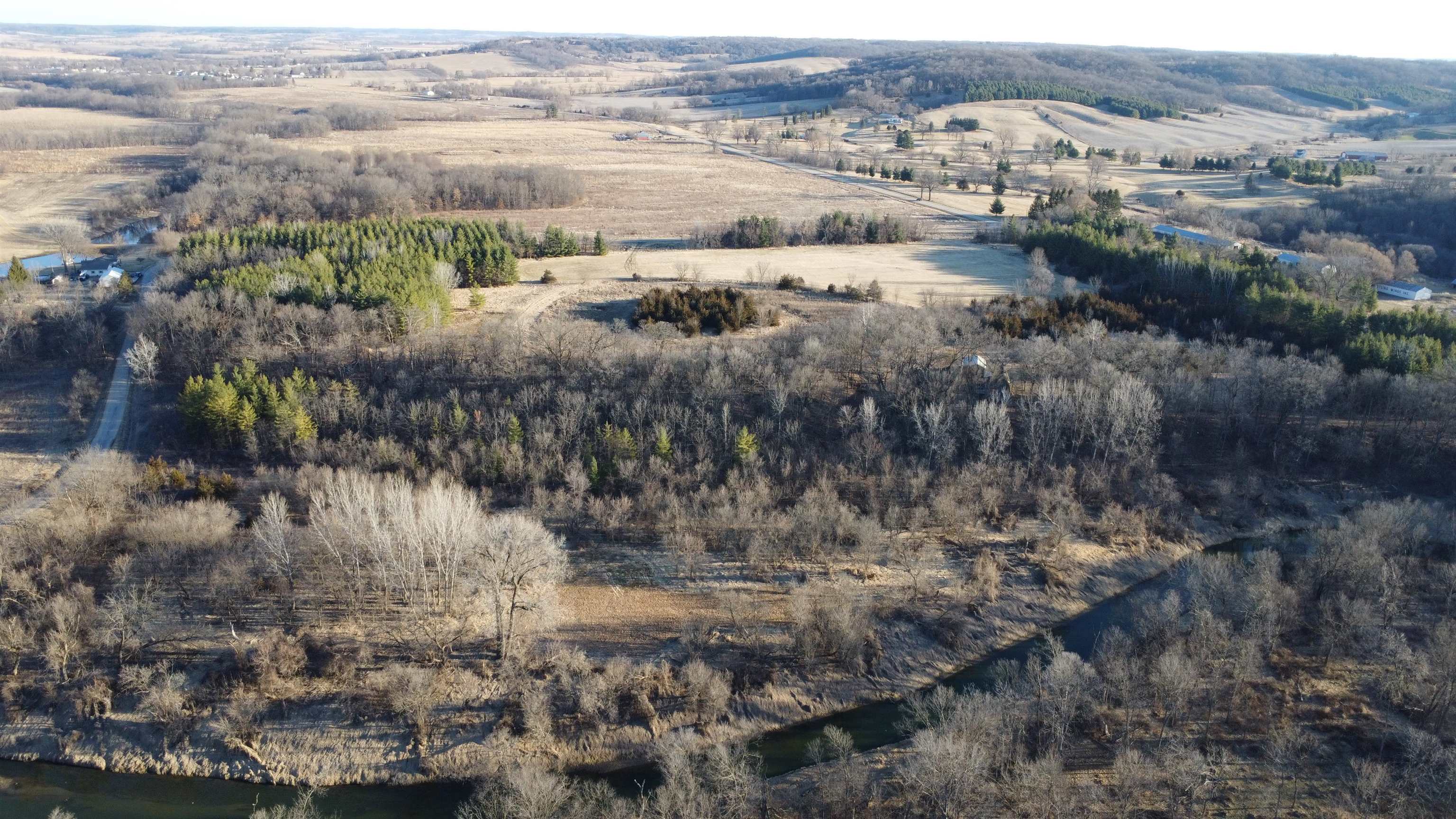
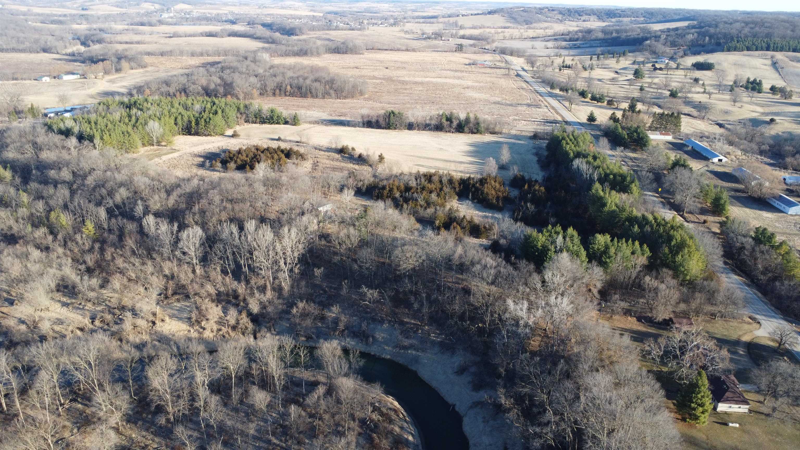
Aerial view of wooded acreage with open fields and a winding creek.
Aerial view of wooded land with a creek, small ponds, and a bridge.
Aerial view of wooded land with a winding creek and open fields.
Aerial view of wooded land along a winding river.
Aerial view of wooded land with a winding river, open fields, and a nearby road.
Aerial view of wooded land with a winding creek, open fields, and a road along its edge.
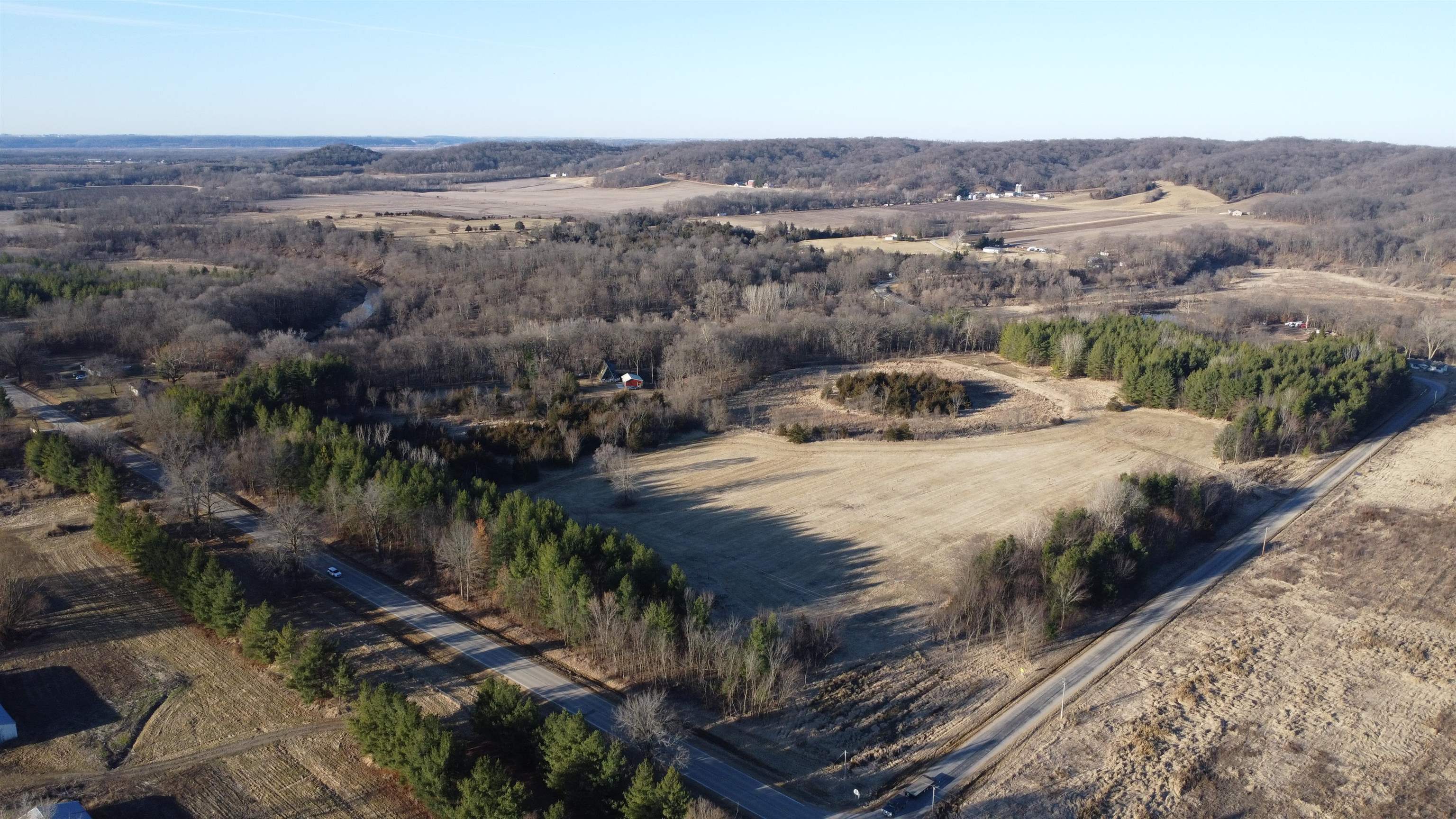
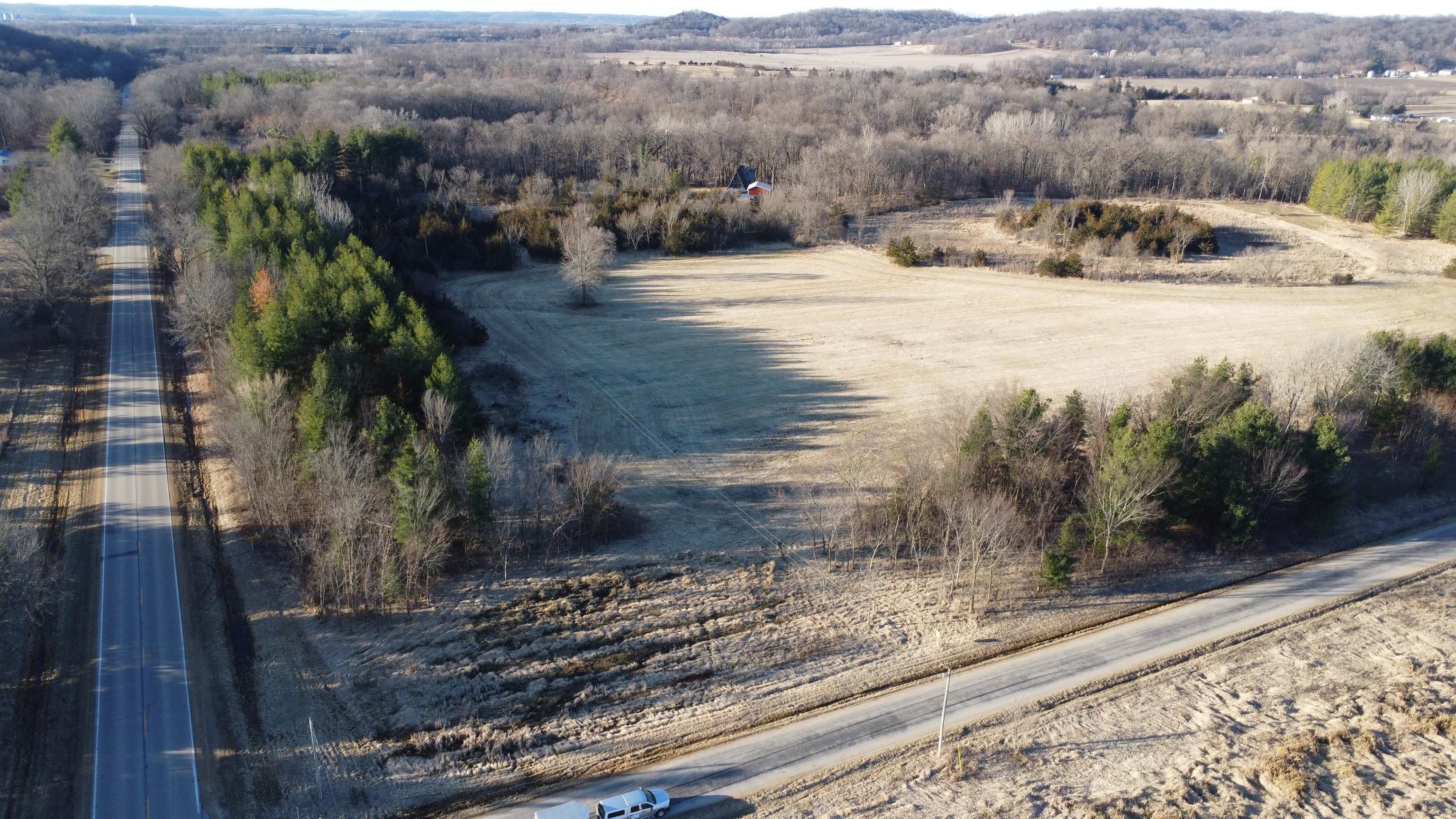
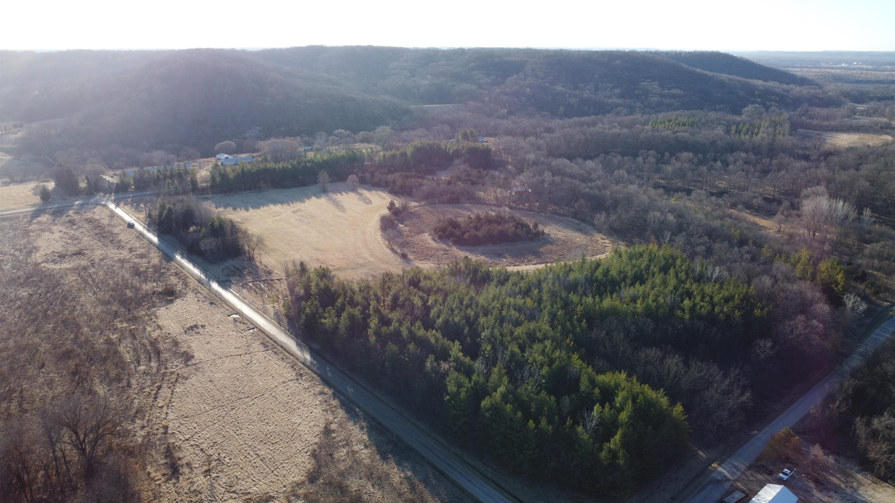
Aerial view of open land bordered by wooded areas and rural roads.
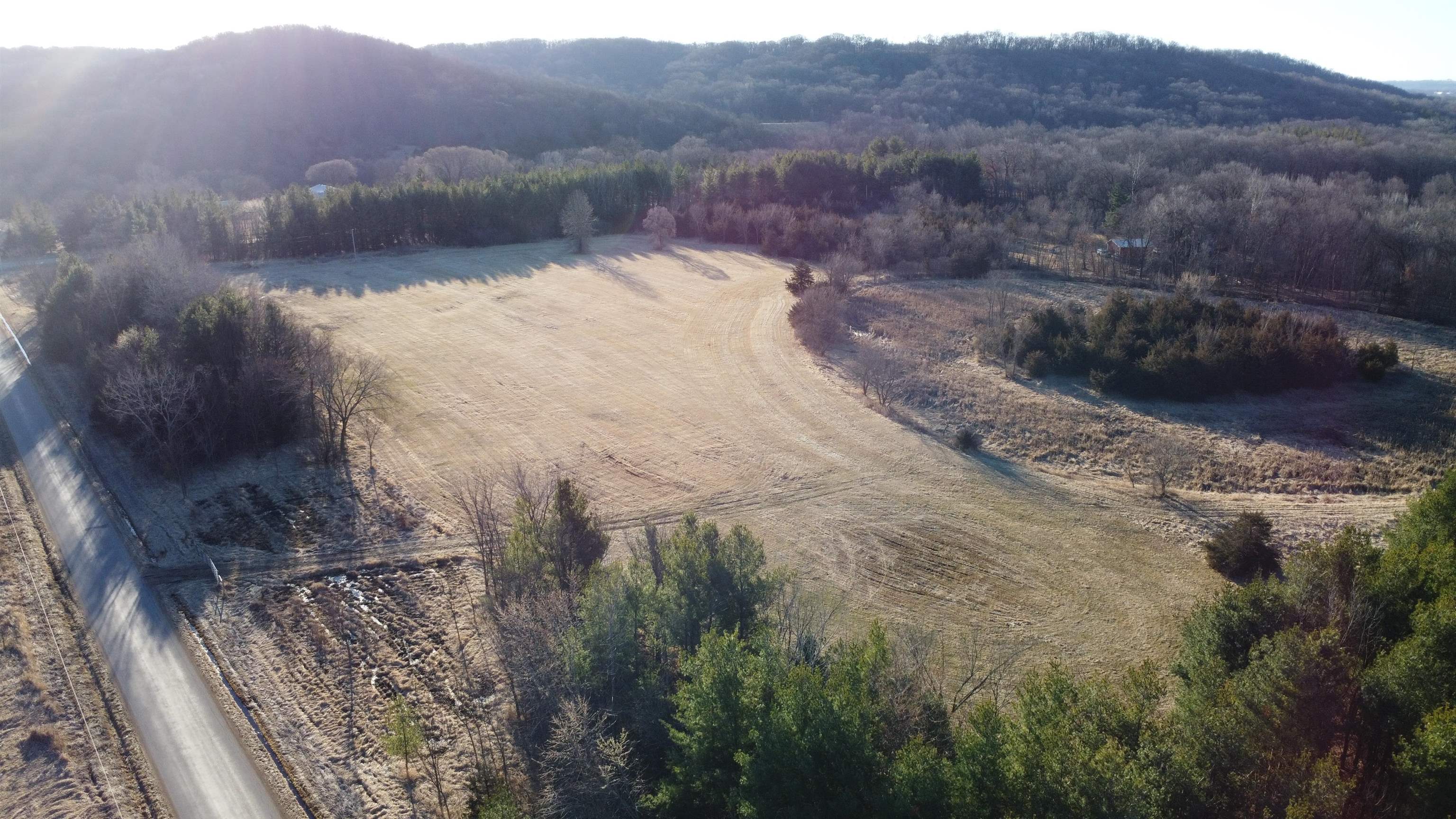
Aerial view of open rural land bordered by woods and roads.
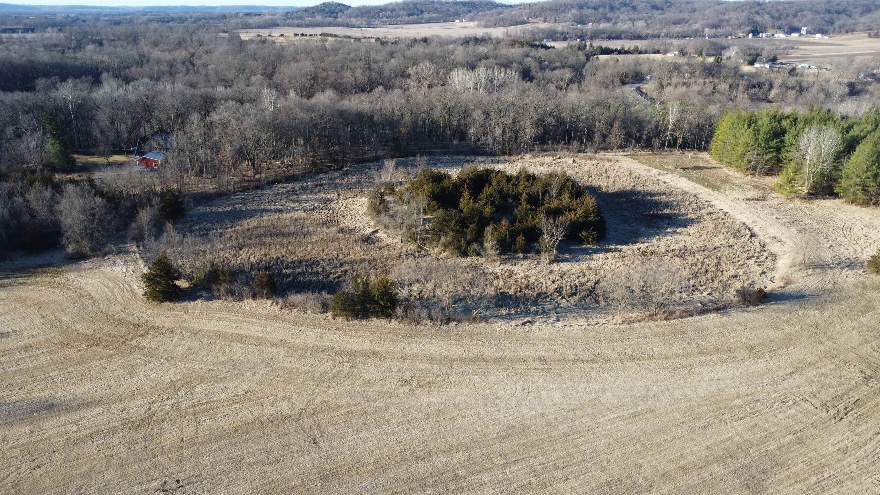
Aerial view of wooded acreage with open fields and a small red outbuilding.
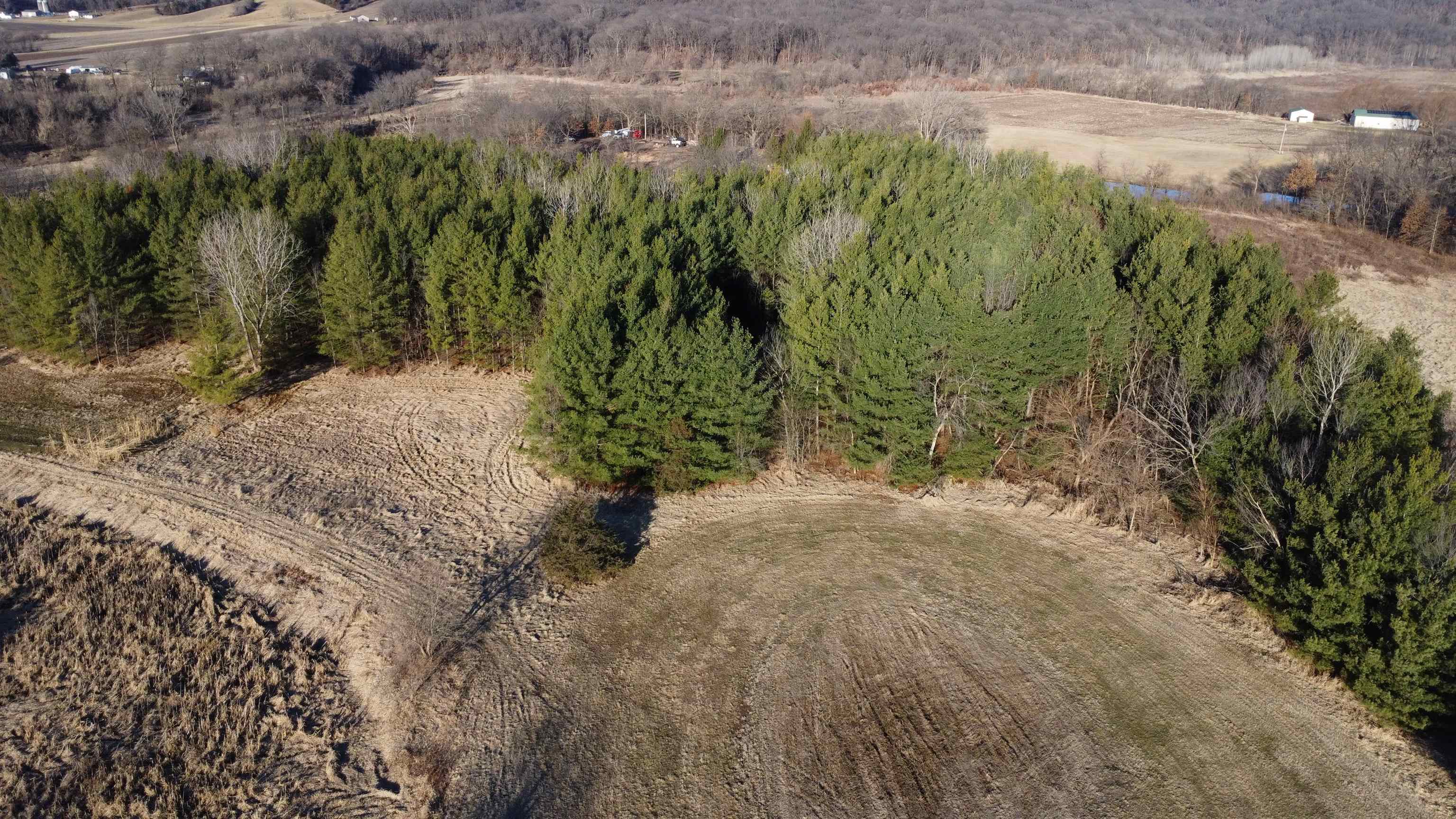
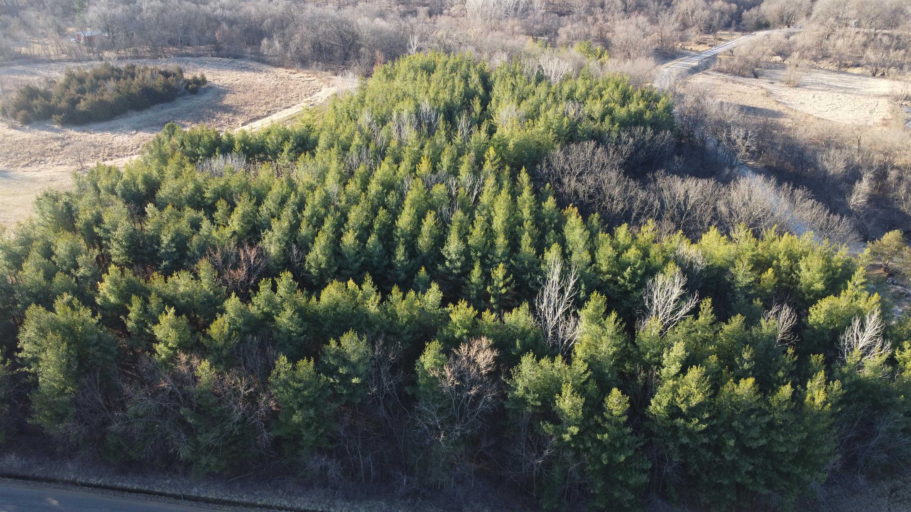
Aerial view of a cleared rural parcel bordered by dense evergreen and leafless woods.
Aerial view of an open rural field bordered by woods, with a narrow road along its edge.
Aerial view of wooded vacant land bordered by fields and rural roads.
Aerial view of a wooded property with dense evergreens and a road along its edge.
Aerial view of rural land with open fields, wooded borders, and a winding dirt track.
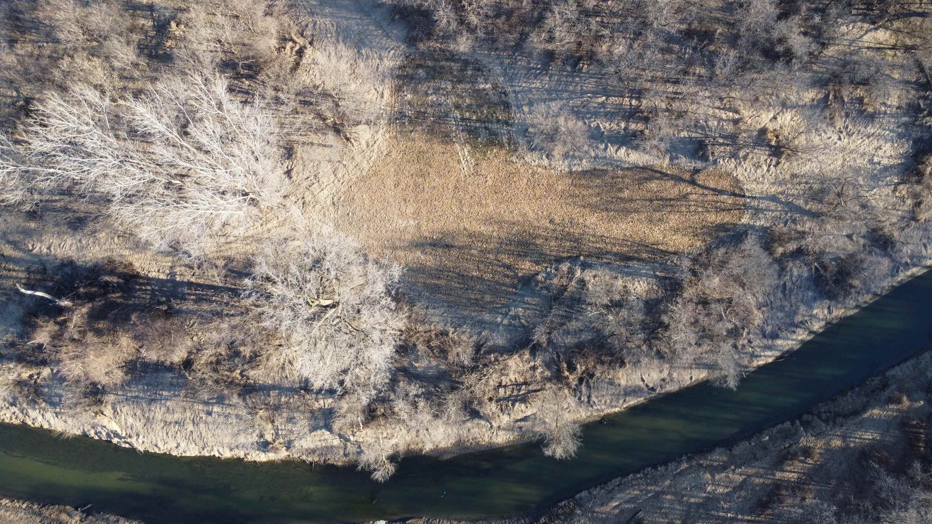
Aerial view of wooded land with a winding creek and open grassy clearing.
Aerial view of wooded land bordered by a winding river.
Aerial view of wooded acreage with a winding river and nearby rural homes.
Wooded acreage with a winding river and open fields.
Aerial view of wooded land along a winding river.
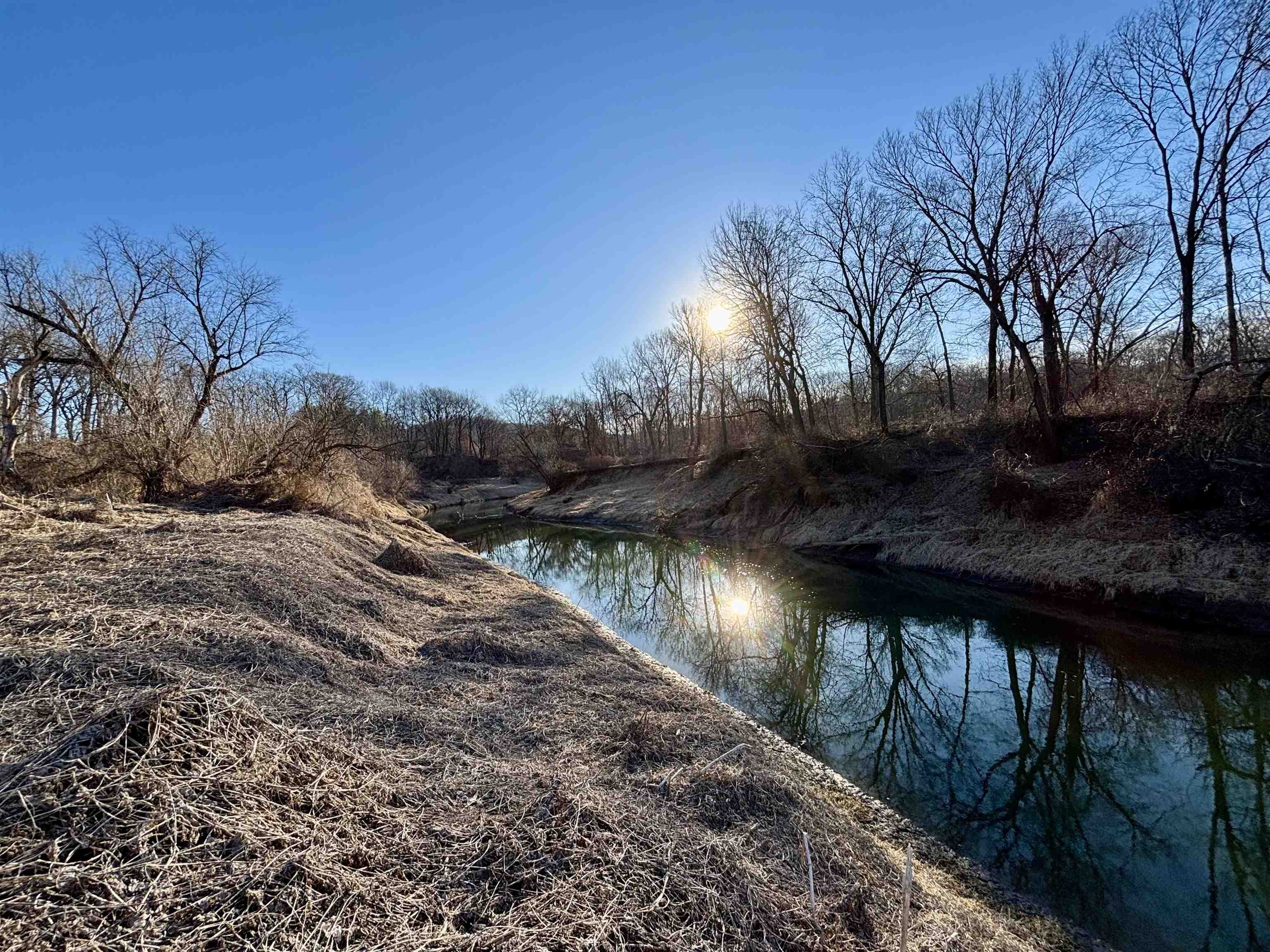
Wooded property along a creek, with leafless trees reflected in the water.
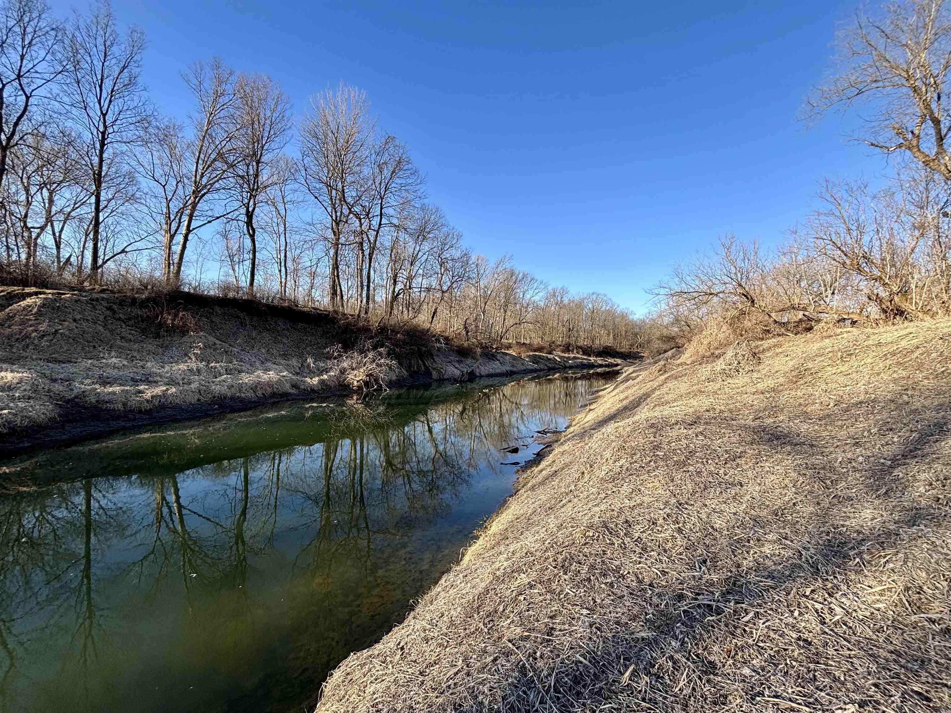
Wooded creek winding between grassy banks on a vacant rural property.
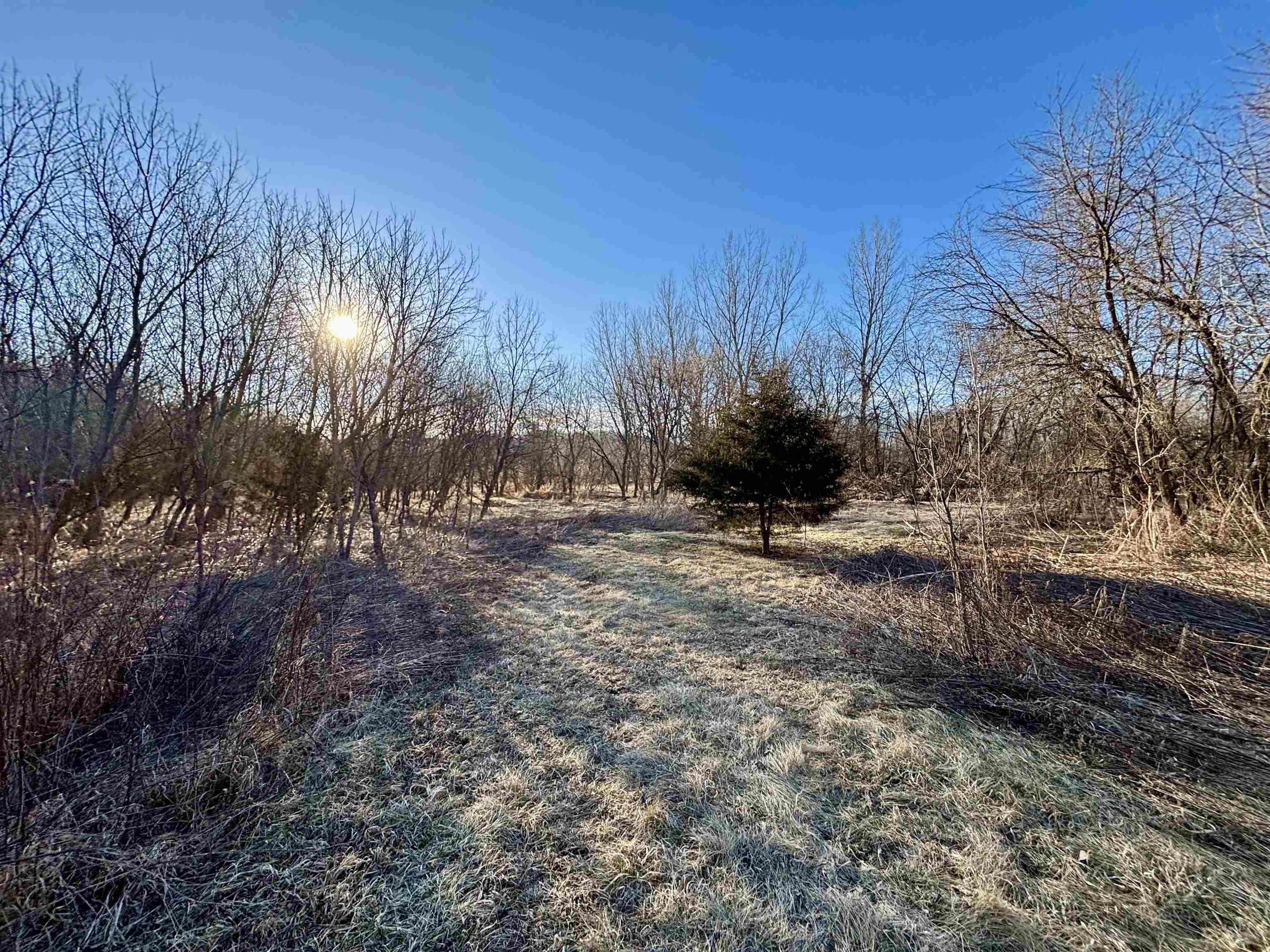
Wooded vacant lot with a frosty grassy clearing and leafless trees.
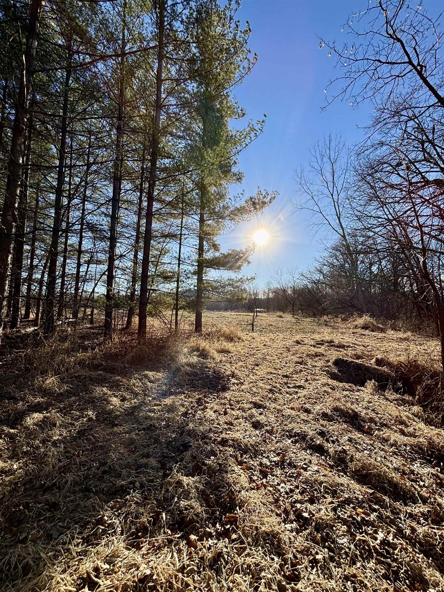
Wooded vacant land with a grassy clearing and low winter sun.
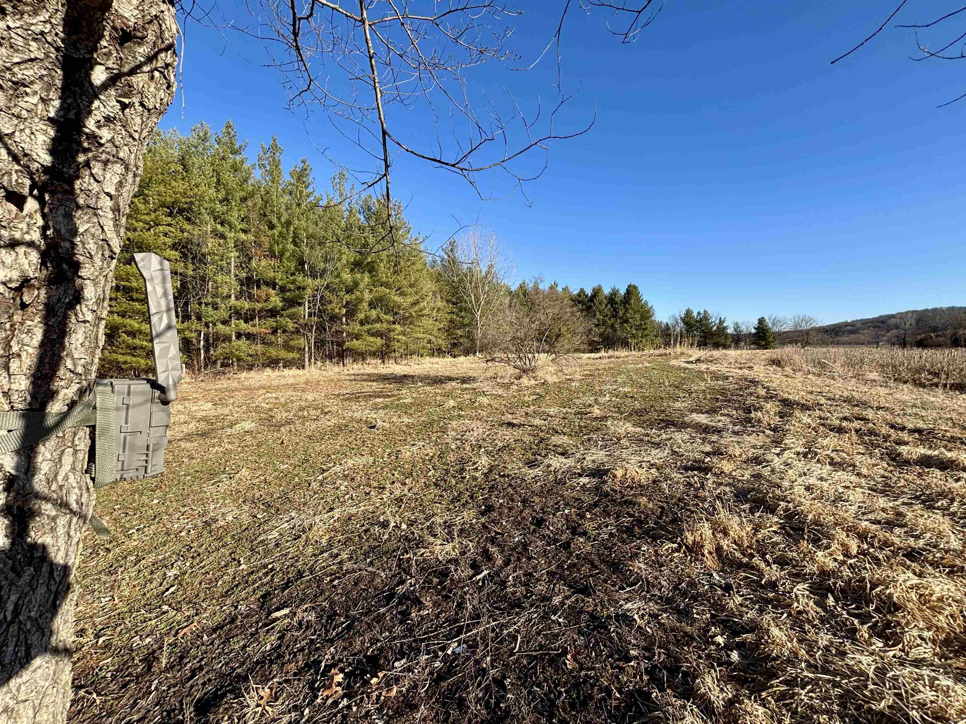
Open rural lot with dry grass, bordered by trees and woodland.
Open grassy parcel bordered by leafless trees beneath a low, bright sun.
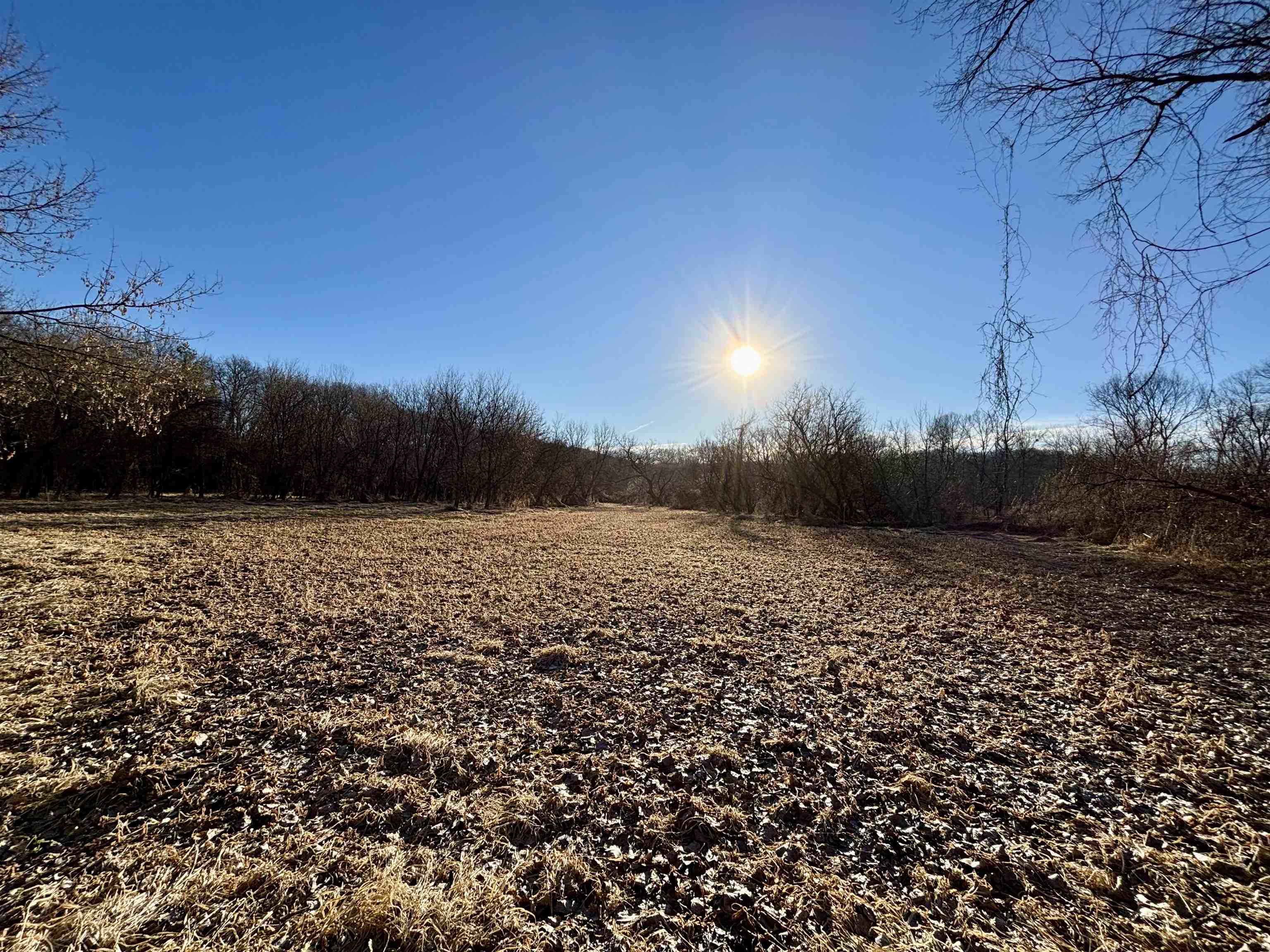
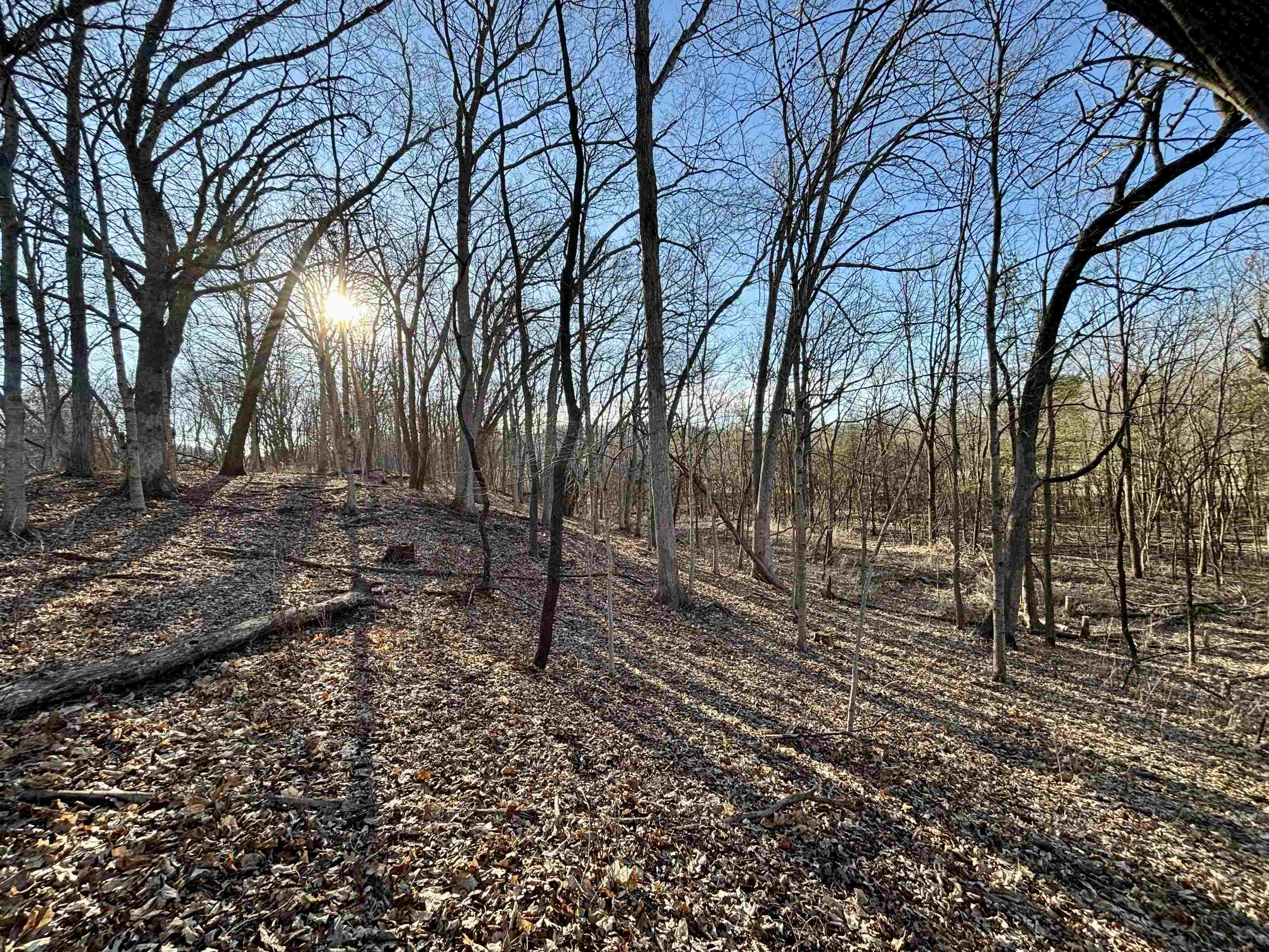
Wooded vacant land with leaf-covered ground and bare trees on a sunny day
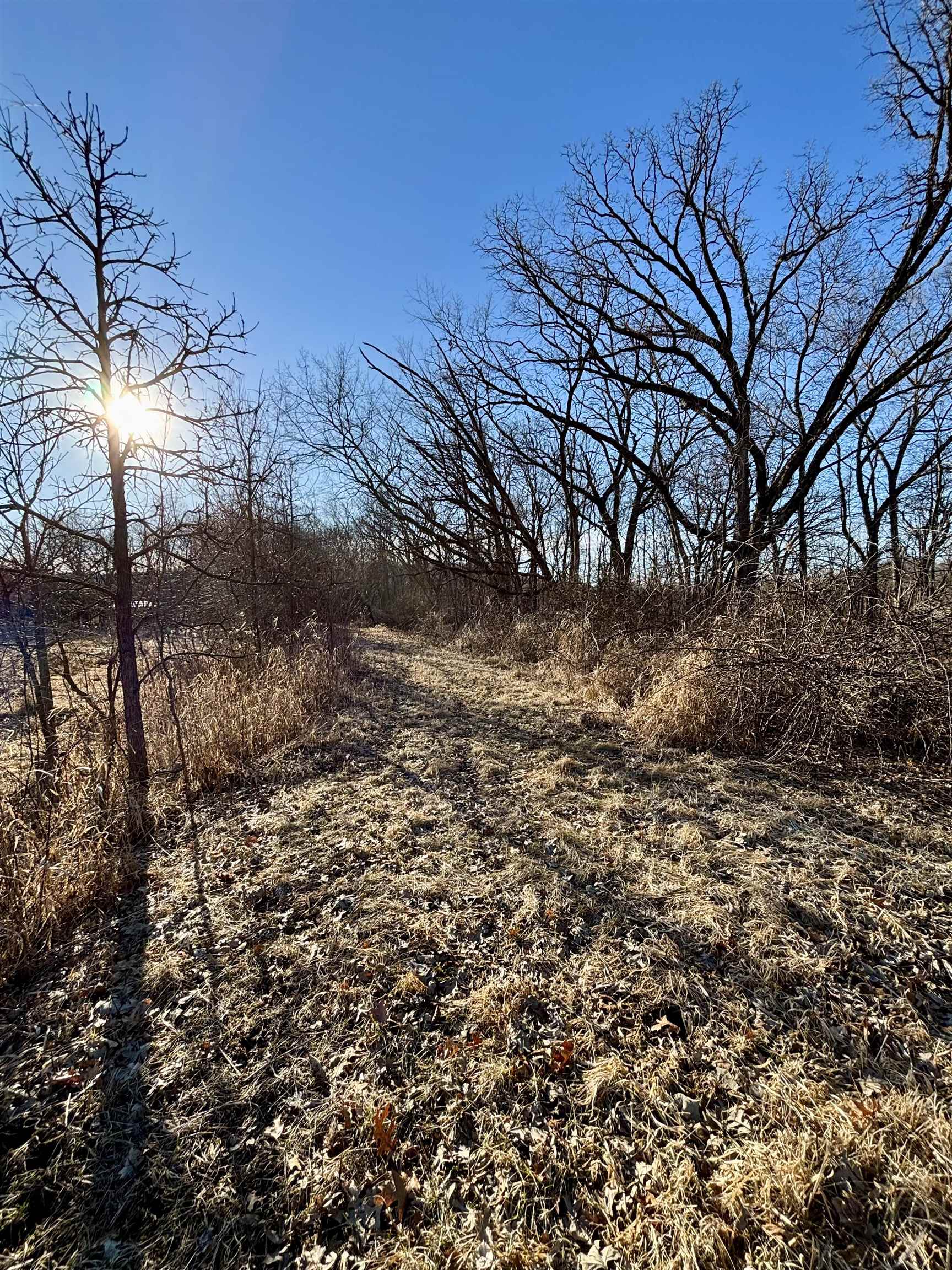
Open grassy path through a wooded lot beneath leafless trees and bright sun.
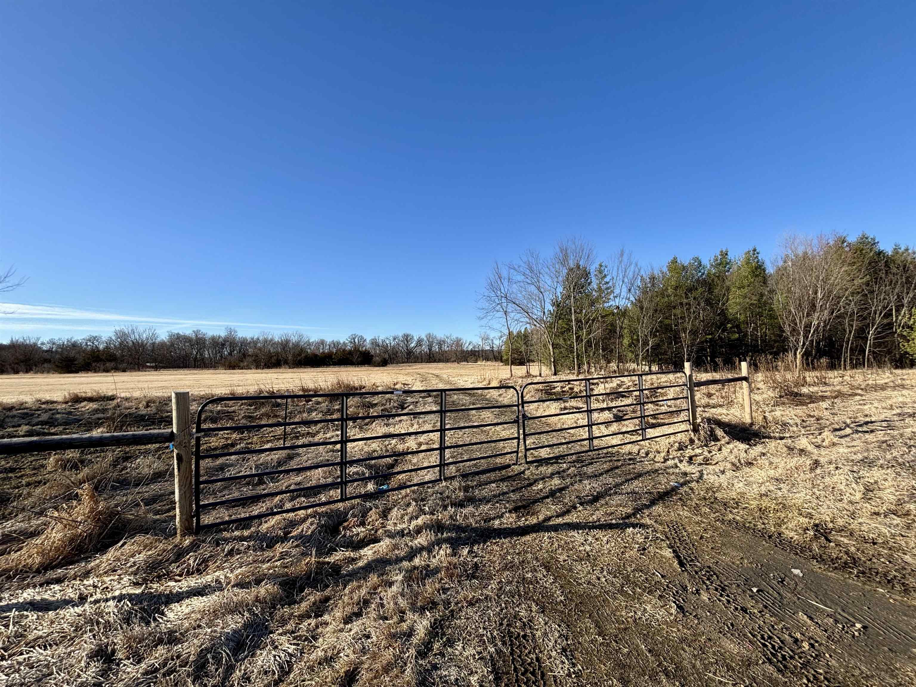
Open rural acreage behind a black metal gate, with a field and wooded edge.
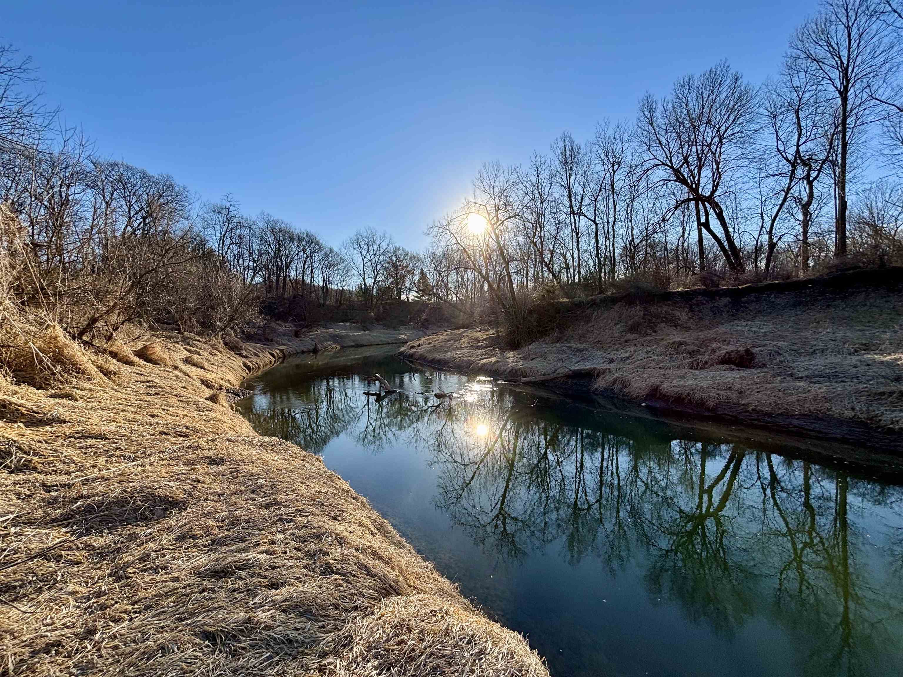
Wooded property with a winding creek reflecting the low sun.
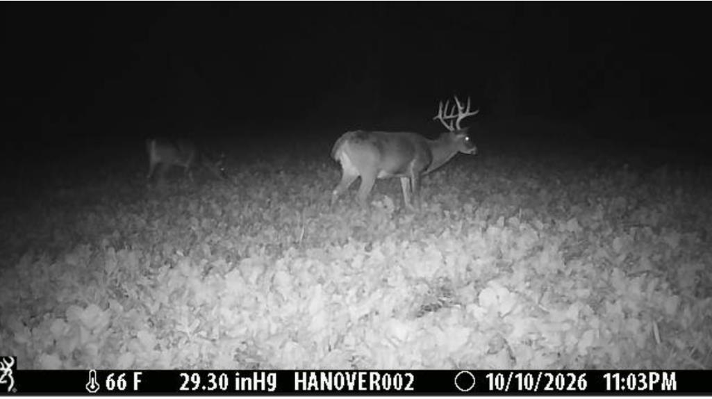
Two deer in a field at night, including a buck with large antlers.
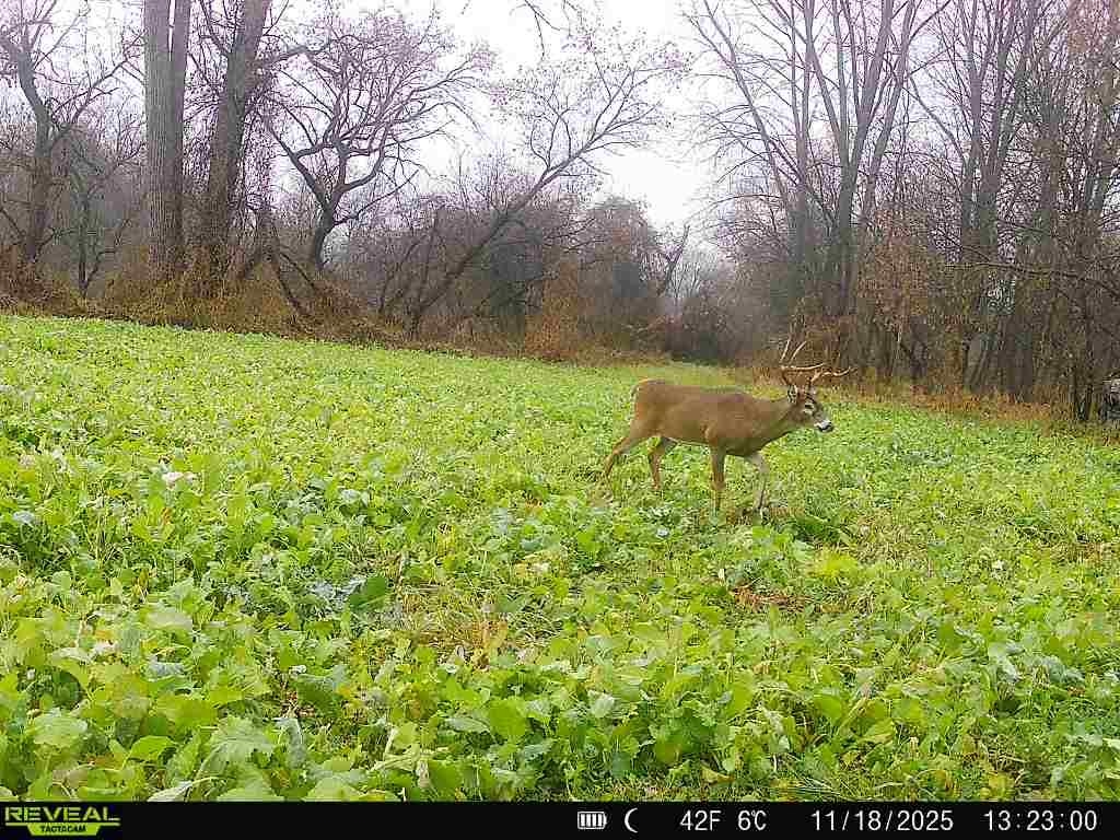
A buck stands in a green field bordered by leafless trees.
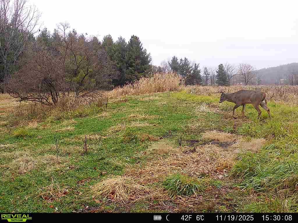
Grassy rural clearing bordered by trees, with a deer grazing near the edge.
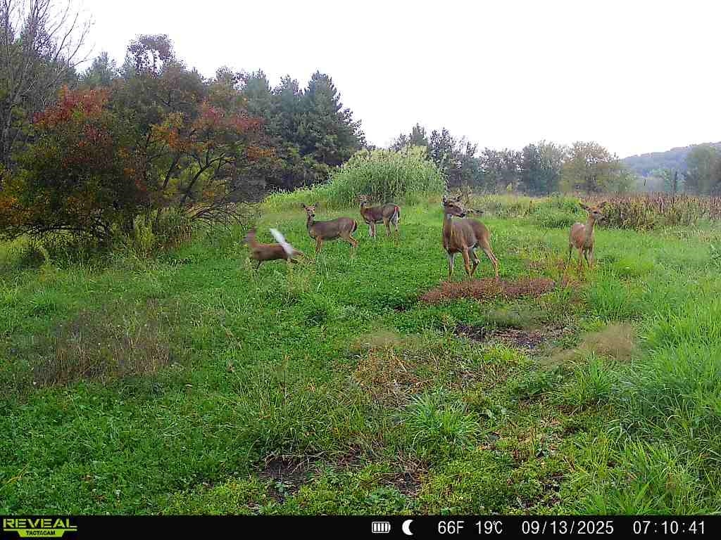
Grassy vacant land with several deer beside a wooded edge.
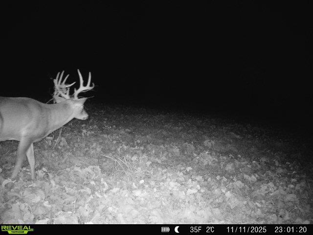
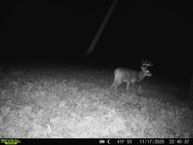
Buck standing in a leaf-covered field at night.
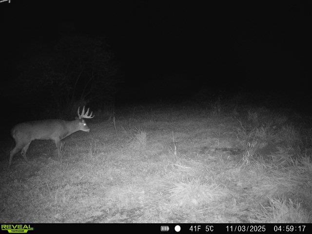
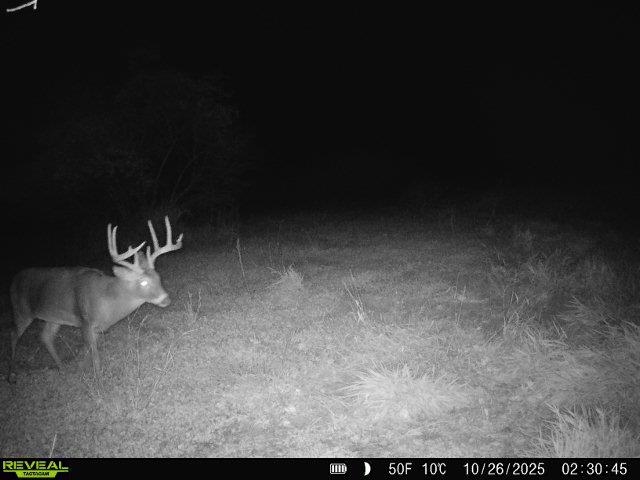
Buck standing in a grassy field at night, captured by a trail camera.
Whitetail deer in a grassy clearing at night, captured by a trail camera.
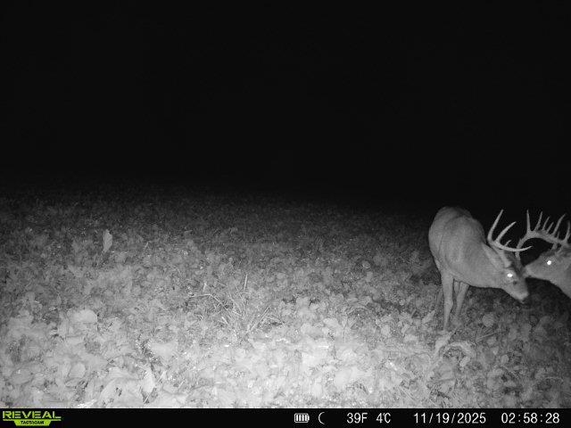
Two white-tailed bucks stand in a field at night, one displaying large antlers.
Buck standing in a leaf-covered field, captured by a nighttime trail camera.
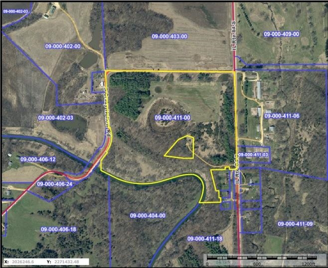
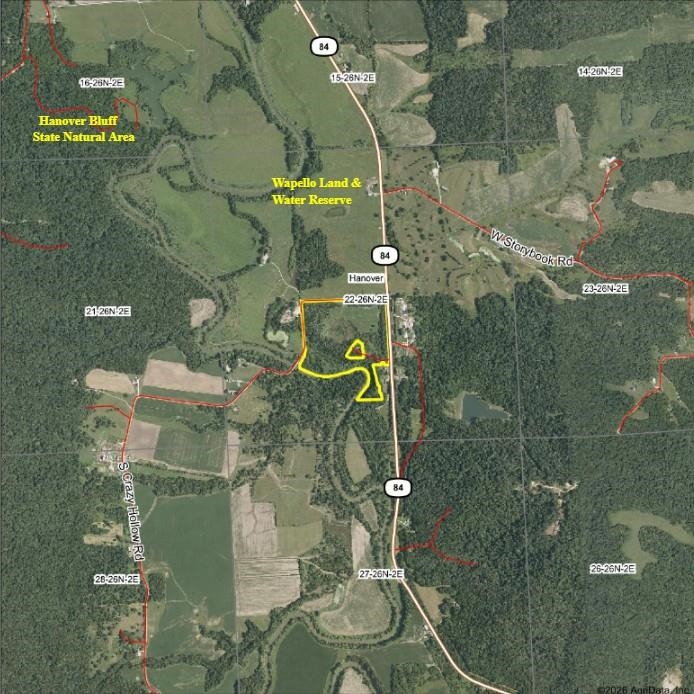
Parcel map outlining a wooded and open tract along S Crazy Hollow Road near Hanover, Illinois.
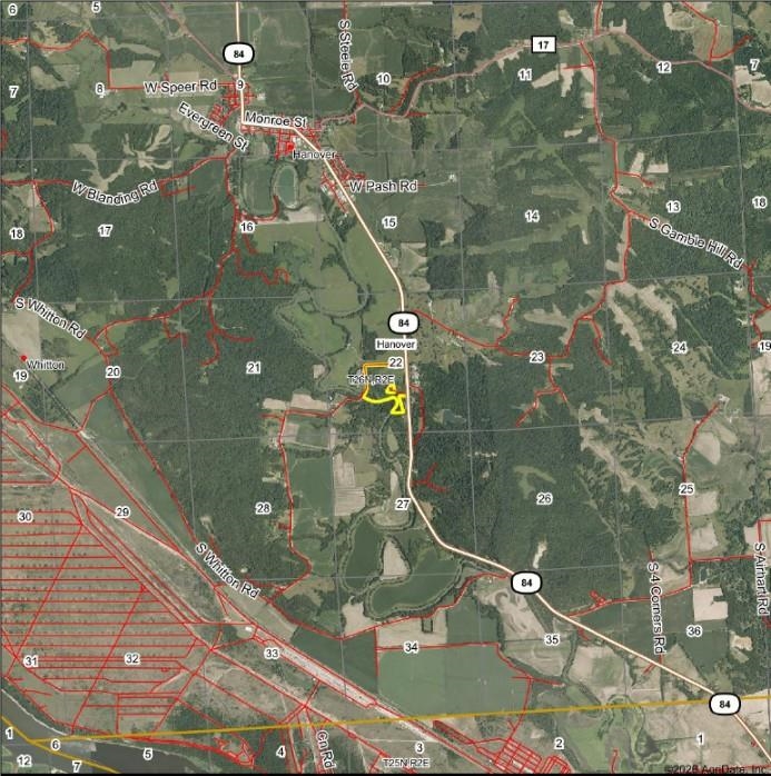
Parcel map for TBD S Crazy Hollow Road
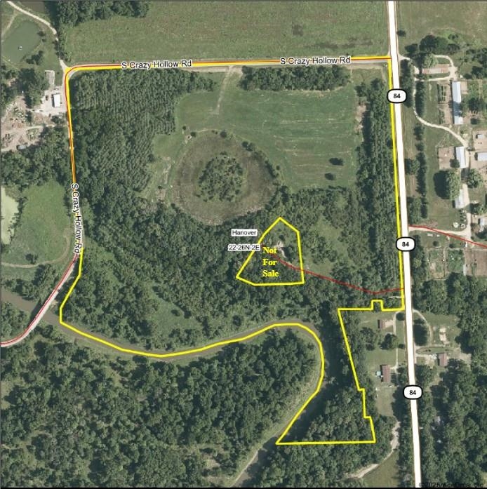
Aerial view of wooded land outlined in yellow near Hanover, Illinois, along Route 84.
Aerial view of rural land outlined in yellow near S Crazy Hollow Road.
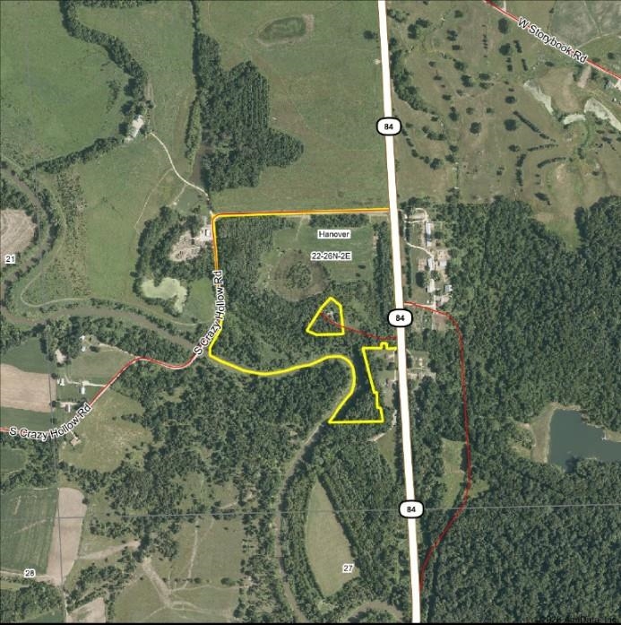
Map marking a parcel south of Hanover near Route 84.
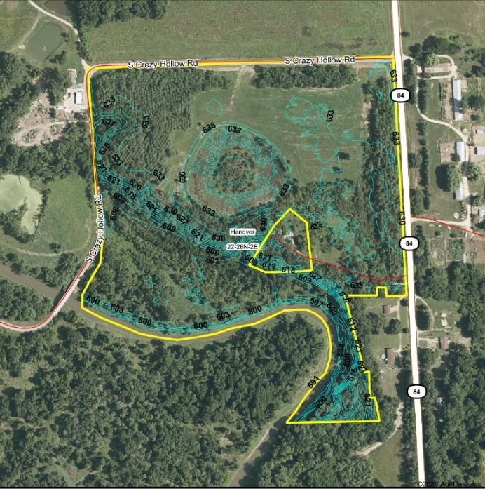
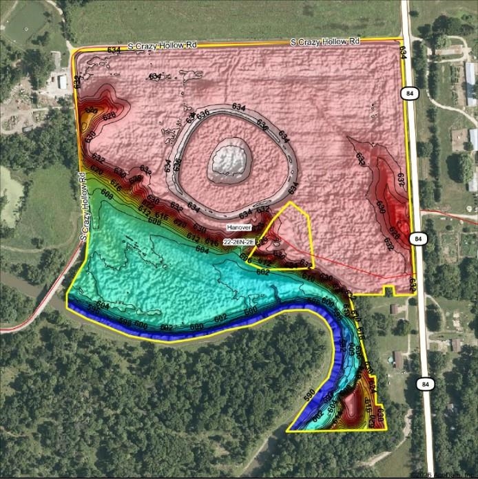
Topographic parcel map of TBD S Crazy Hollow Road in Hanover, Illinois.
Topographic map of the TBD S Crazy Hollow Road property, showing parcel boundaries and elevation contours.
SEE ALL PHOTOS
Aerial view of wooded acreage and open fields along a winding creek and bridge.
Aerial view of wooded land beside a winding river, with a road along the edge.
Aerial view of wooded acreage with a winding creek and road bridge.
Aerial view of wooded acreage with open fields and a winding creek.
Aerial view of wooded land with a creek, small ponds, and a bridge.
Aerial view of wooded land with a winding creek and open fields.
Aerial view of wooded land along a winding river.
Aerial view of wooded land with a winding river, open fields, and a nearby road.
Aerial view of wooded land with a winding creek, open fields, and a road along its edge.
Aerial view of open land bordered by wooded areas and rural roads.
Aerial view of open rural land bordered by woods and roads.
Aerial view of wooded acreage with open fields and a small red outbuilding.
Aerial view of a cleared rural parcel bordered by dense evergreen and leafless woods.
Aerial view of an open rural field bordered by woods, with a narrow road along its edge.
Aerial view of wooded vacant land bordered by fields and rural roads.
Aerial view of a wooded property with dense evergreens and a road along its edge.
Aerial view of rural land with open fields, wooded borders, and a winding dirt track.
Aerial view of wooded land with a winding creek and open grassy clearing.
Aerial view of wooded land bordered by a winding river.
Aerial view of wooded acreage with a winding river and nearby rural homes.
Wooded acreage with a winding river and open fields.
Aerial view of wooded land along a winding river.
Wooded property along a creek, with leafless trees reflected in the water.
Wooded creek winding between grassy banks on a vacant rural property.
Wooded vacant lot with a frosty grassy clearing and leafless trees.
Wooded vacant land with a grassy clearing and low winter sun.
Open rural lot with dry grass, bordered by trees and woodland.
Open grassy parcel bordered by leafless trees beneath a low, bright sun.
Wooded vacant land with leaf-covered ground and bare trees on a sunny day
Open grassy path through a wooded lot beneath leafless trees and bright sun.
Open rural acreage behind a black metal gate, with a field and wooded edge.
Wooded property with a winding creek reflecting the low sun.
Two deer in a field at night, including a buck with large antlers.
A buck stands in a green field bordered by leafless trees.
Grassy rural clearing bordered by trees, with a deer grazing near the edge.
Grassy vacant land with several deer beside a wooded edge.
Buck standing in a leaf-covered field at night.
Buck standing in a grassy field at night, captured by a trail camera.
Whitetail deer in a grassy clearing at night, captured by a trail camera.
Two white-tailed bucks stand in a field at night, one displaying large antlers.
Buck standing in a leaf-covered field, captured by a nighttime trail camera.
Parcel map outlining a wooded and open tract along S Crazy Hollow Road near Hanover, Illinois.
Parcel map for TBD S Crazy Hollow Road
Aerial view of wooded land outlined in yellow near Hanover, Illinois, along Route 84.
Aerial view of rural land outlined in yellow near S Crazy Hollow Road.
Map marking a parcel south of Hanover near Route 84.
Topographic parcel map of TBD S Crazy Hollow Road in Hanover, Illinois.
Topographic map of the TBD S Crazy Hollow Road property, showing parcel boundaries and elevation contours.
For Sale

TBD S Crazy Hollow Road

TBD S Crazy Hollow Road, HANOVER, IL 61041

$362,500
REDUCED! 44.78 Acres +/- located just south of Hanover that offers a little bit of everything! Surrounded by tall wooded bluffs, this property sits along the scenic and winding Apple River valley and has a nice mixture of tall White Pine plantings, hardwood ridges, open ground for habitat and food plot projects, and river bottom timber. Over 1/4 mile of Apple River frontage creates the West boundary of the property and creates some natural pinch point to catch wildlife traveling the river as well as fishing and waterfowl opportunities. Approximately 6 acres of open field ground are currently being cut and baled for hay, but could be a great build site or a blank slate for more habitat projects and food plots. In the center of the property is a remnant of a past pond/wetland that could be restored to become a focal point of the property. This property has the convenience to access from three sides of the property, yet maintained privacy with tree plantings following nearly all of the perimeter. This property is adjacent to the Wapello Land and Water Reserve to the north and nearby to some of the most strictly managed privately owned whitetail properties in all of Jo Daviess County-meaning a truly world class whitetail could show up any given year. Beyond the hunting potential, the property offer some great build sites to overlook the Apple River while sitting well above the flood plain. See firsthand all of the potential this property has to offer! The Eastern 20 acres +/- will be offered individually with a separate listing. Inquire for more details.

44.78 Acres lot

Brandon Beyer

Brandon Beyer

Features & Amenities

Area & Lot

  • Status For Sale
  • Lot Area44.78 Acres
  • MLS® ID202601269
  • TypeLand
  • NeighborhoodJo Daviess County
  • View DescriptionRiver View
  • Elementary SchoolRiver Ridge
  • Middle SchoolRiver Ridge
  • High SchoolRiver Ridge
  • School DistrictRiver Ridge

Exterior

  • water SourceOther
  • lot featuresRolling
  • sewerOther

Financial

  • Sales Price$362,500
  • Real Estate Tax $369/yr
Aerial view of wooded land beside a winding river, with a road along the edge.

Schedule a Showing

We would love to show you our beautiful property. Please select your preferred date and time below. An agent will be in touch shortly to confirm your appointment.

Schedule a Showing

We would love to show you our beautiful property. Please select your preferred date and time below. An agent will be in touch shortly to confirm your appointment.

Thank you for your interest in TBD S Crazy Hollow Road, HANOVER, IL 61041. We are reviewing your request and will be in touch shortly!

Mortgage Calculator

Estimate your monthly mortgage payment, including the principal and interest, property taxes, and HOA. Adjust the values to generate a more accurate rate.

All estimates are provided for informational purposes only. Actual amounts may vary.
$0,000 Your Payment 20 15 65
$0,000 Your Payment

Jo Daviess County

Explore

Let’s Make Your Next Move Count

Whether you’re buying or selling residential property, farmland, hunting acreage, or recreational land, Sullivan Realty offers the local expertise and personalized guidance to help you move forward.

Follow Us on Instagram